COLLECTION NAME:
David Rumsey Historical Map Collection
Record
Short Title:
Covers: Railroad And County Map Of Alabama
Obj Height cm:
15
Obj Width cm:
10
Note:
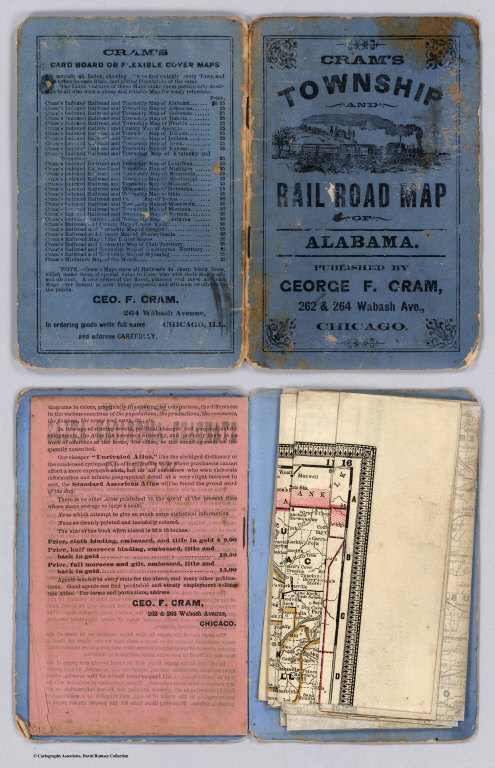
The date is estimated from the exact match of this map to the map in Cram's Standard American Atlas of 1887. Cram also produced these maps for Grant's Business Atlas - here he did not bother to change the title. Catalogue of Cram's two major atlases of the period in the back. In blue paper covers 15x10 with the view of a steam engine and train, and titled "Cram's Township And Rail Road Map Of Alabama. Published By George F. Cram, 262 & 264 Wabash Ave., Chicago." in black. With 22 page Index to State Map of Alabama. Printed color. Prime meridians are Greenwich and Washington D.C.
Reference:
None found.
Full Title:
(Covers to) Railroad And County Map Of Alabama. Engraved for Grant's Business Atlas.
List No:
4112.001
Series No:
1
Pub Date:
1887
Pub Title:
Railroad And County Map Of Alabama. Engraved for Grant's Business Atlas.
Pub Reference:
None found.
Pub Note:
See note field above.
Pub List No:
4112.000
Pub Height cm:
15
Pub Width cm:
10
Image No:
4112001
Publisher Location:
Chicago
Publisher:
George F. Cram
Type:
Covers
State/Province:
Alabama
Subject:
Railroad
Publication Author:
Cram, George Franklin
Pub Type:
Pocket Map
Author:
Cram, George Franklin
Date:
1887
Covers: Railroad And County Map Of Alabama