COLLECTION NAME:
David Rumsey Historical Map Collection
Record
Short Title:
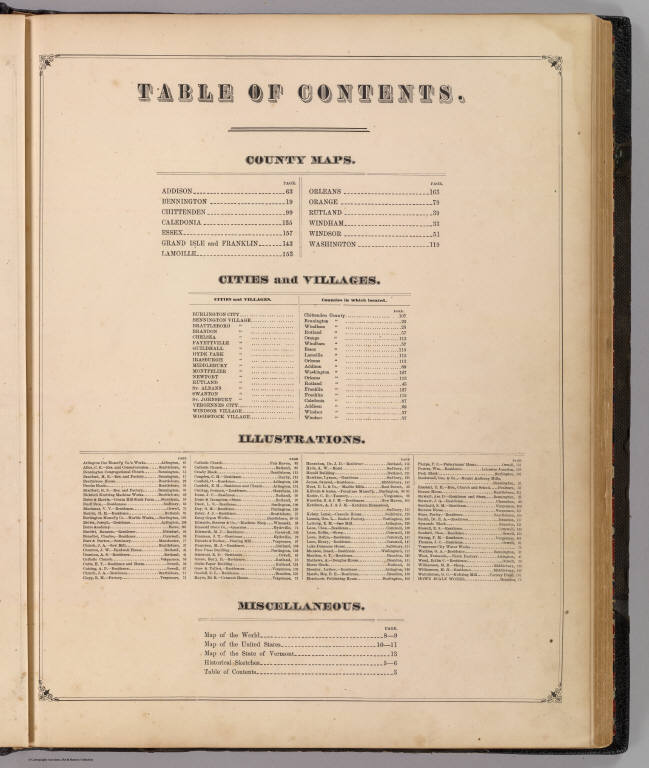
Contents: Illustrated topographical & historical atlas, Vermont.
Obj Height cm:
45
Obj Width cm:
36
Note:
This scarce atlas is styled after the Andreas atlases of Iowa and Minnesota, although the views are more frequently of commercial establishments than homes or farms. It is very well done, and the only known production of H.W. Burgett. County maps in full color by township. Covers are half leather black cloth covered boards with "Illustrated Combination Atlas Of Vermont. 1876. Freedom And Unity" embossed in gilt on the front and back. Irregular paging.
Reference:
Cobb, Vermont maps prior to 1900, 383; Phillips 2593; Phillips, Maps of America, p. 974.
Full Title:
(Contents to) Illustrated topographical and historical atlas of the State of Vermont. Published by H.W. Burgett & Co. 36 Vesey Street, New-York. 1876. Entered ... 1876 by H.W. Burgett & Co. ... Washington D.C. Engraved & printed by J.B. Beers & Co. 36 Vesey St. N.Y.
List No:
4633C
Series No:
3
Pub Date:
1876
Pub Title:
Illustrated topographical and historical atlas of the State of Vermont. Published by H.W. Burgett & Co. 36 Vesey Street, New-York. 1876. Entered ... 1876 by H.W. Burgett & Co. ... Washington D.C. Engraved & printed by J.B. Beers & Co. 36 Vesey St. N.Y.
Pub Reference:
Cobb, Vermont maps prior to 1900, 383; Phillips 2593; Phillips, Maps of America, p. 974.
Pub Note:
See note field above
Pub List No:
4633.000
Pub Maps:
24
Pub Height cm:
46
Pub Width cm:
36
Image No:
4633C
Institution:
Rumsey Collection
Ownership Statement:
Copyright 2005
Publisher Location:
New York
Publisher:
H.W. Burgett & Co.
Type:
Index Page
State/Province:
Vermont
Publication Author:
Beers, J.B. & Co.
Publication Author:
H.W. Burgett and Company
Pub Type:
State Atlas
Author:
Beers, J.B. & Co.
Author:
H.W. Burgett and Company
Date:
1876
Contents: Illustrated topographical & historical atlas, Vermont.