Browse All

1810 (Northwest Section) Map Exhibiting the G … Case Map (Northwest Section) Map Exhibiting the G … |

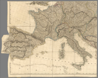
1810 (Northeast Section) Map Exhibiting the G … Case Map (Northeast Section) Map Exhibiting the G … |
1810 (Southwest Section) Map Exhibiting the G … Case Map (Southwest Section) Map Exhibiting the G … |

1810 (Southeast Section) Map Exhibiting the G … Case Map (Southeast Section) Map Exhibiting the G … |

1810 No. 6. Campobasso, Trivento, Agnone Regional Atlas No. 6. (Campobasso, Trivento, Agnone). G … |

1810 No. 17. Bari, Monopoli, Martinafranca Regional Atlas No. 17. (Bari, Monopoli, Martinafranca). … |

1810 Mexico 1. Regional Atlas A new map of Mexico and adjacent provinc … |

1810 Mexico 2. Regional Atlas (A new map of Mexico and adjacent provin … |

1810 Mexico 3. Regional Atlas (A new map of Mexico and adjacent provin … |

1810 Mexico 4. Regional Atlas (A new map of Mexico and adjacent provin … |

1810 West Indies 1. Regional Atlas Chart of the West Indies and Spanish Dom … |

1810 West Indies 2. Regional Atlas (Chart of the West Indies and Spanish Do … |

1810 Austrian Dominions. World Atlas Austrian Dominions. Drawn under the dire … |

1810 Prussian Dominions. World Atlas Prussian Dominions. Drawn under the dire … |

1810 Spain and Portugal. World Atlas Spain and Portugal. Drawn under the dire … |

1810 The Netherlands and the countries to the … World Atlas The Netherlands and the countries to the … |

1810 Germany north of the Mayn. World Atlas Germany north of the Mayn. Drawn under t … |

1810 United States of America, northern part. World Atlas United States of America, northern part. … |

1810 Peru. World Atlas Peru. Drawn under the direction of Mr. P … |

1810 The Caracas. World Atlas The Caracas. Drawn under the direction o … |