Browse All

1861 Ethnographical Map of Africa, in the Ear … Physical Atlas Ethnographical Map of Africa, in the Ear … |

1861 Ethnographical Map of North America, in … Physical Atlas Ethnographical Map of North America, in … |

1861 Ethnographical Map of South America, in … Physical Atlas Ethnographical Map of South America, in … |

1861 Ethnographical Map of Polynesia, in the … Physical Atlas Ethnographical Map of Polynesia, in the … |

1861 New Military Map of the United States World Atlas Johnson's New Military Map of the United … |

1861 Borough of Bernville, Pennsylvania. County Atlas Plan of the Borough of Bernville, Septr. … |

1861 Boyertown, Pennsylvania. County Atlas Plan of Boyertown. Octr. 1861. |

1861 Borough of Hamburg, Berks County, Pennsy … County Atlas Plan of the Borough of Hamburg, July 186 … |

1861 Borough of Kutztown, Berks County, Penns … County Atlas Plan of Borough of Kutztown, August 1861 … |

1861 Leesport, Berks County, Pennsylvania. County Atlas Plan of Leesport, July 1861. |

1861 Womelsdorf, Berks County, Pennsylvania. County Atlas Plan of Womelsdorf, July 1861. |

1861 9. Brighton. National Atlas 9. Brighton. |

1861 45. Banbury. National Atlas 45. Banbury. |

1861 63. Leicester. National Atlas 63. Leicester. |

1861 73. Market Drayton. National Atlas 73. Market Drayton. |
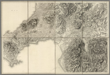
1861 75. Harlech. National Atlas 75. Harlech. |

1861 78. Bangor. National Atlas 78. Bangor. |

1861 88. Huddersfield. National Atlas 88. Huddersfield. |

1861 Plate 37. Indians. Indian Missions, 1567 … [Historical Atlas, National Atlas] Plate 37. Indians. Indian Missions, 1567 … |

1861 Facsimile: Russian Dominions (portion). Historical Atlas (Facsimile) (Russian Dominions - portion … |

1861 Facsimile: Pacific Ocean. Cook River to … Historical Atlas (Facsimile) Pacific Ocean. Cook River to … |