Browse All

1951 Shell Highway Map Northeastern Section o … National Atlas Shell Map of Eastern United States (cove … |

1951 Shell Highway Map Southeastern Section o … National Atlas Shell Highway Map Southeastern Section o … |

1951 Shell Highway Map of Arizona and New Mex … National Atlas Shell Map of Arizona, New Mexico (cover … |

1951 Various Regions and Cities in Arizona an … National Atlas Santa Fe and Vicinity. Lincoln National … |

1947 Shell Highway Map of Colorado. National Atlas Shell Map of Colorado (cover title). She … |

1947 Various Regions and Cities in Colorado. National Atlas Denver and Vicinity. Pueblo. Trinidad (C … |

1950 Shell Highway Map of Kansas. National Atlas Shell Map of Kansas (cover title). Shell … |

1950 Various Regions and Cities in Kansas. National Atlas Wichita. Topeka. Hutchinson. Salina. Kan … |

1951 Shell Highway Map of Montana. National Atlas Shell Map of Montana (cover title). Shel … |

1951 Various Regions and Cities in Montana an … National Atlas Southern Alberta. Yellowstone National P … |

1949 Shell Highway Map of Nebraska. National Atlas Shell Map of Nebraska (cover title). She … |

1949 Various Regions and Cities in Nebraska. National Atlas Lincoln. Sioux City. Grand Island. North … |

1949 Shell Highway Map of South Dakota. National Atlas Shell Map of North Dakota, South Dakota … |

1949 Shell Highway Map of North Dakota. National Atlas Shell Highway Map of North Dakota. (Vers … |

1948 Shell Highway Map of Oklahoma. National Atlas Shell Map of Oklahoma (cover title). She … |

1948 Various Regions and Cities in Oklahoma. National Atlas Enid. Muskogee. Oklahoma City. Ardmore. … |

1950 Shell Highway Map of Utah. National Atlas Shell Map of Utah (cover title). Shell H … |

1950 Various Regions and Cities in Utah. National Atlas Bryce Canyon National Park. Zion Nationa … |
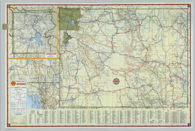
1951 Shell Highway Map of Wyoming. National Atlas Shell Map of Wyoming (cover title). Shel … |

1951 Shell Street Map of Houston. National Atlas Shell Street Guide and Metropolitan Map … |

1951 Metropolitan Houston and Vicinity. National Atlas Metropolitan Houston and Vicinity. (Vers … |

1951 Shell Street Map of San Jose and Vicinit … National Atlas Shell Map of San Jose (cover title). She … |

1951 Shell San Jose and Vicinity. National Atlas Shell San Jose and Vicinity. (Verso to) … |

1950 Shell Street Map of Montreal. National Atlas Shell Street Guide and Metropolitan Map … |

1950 Downtown Montreal. Seeing Montreal. Shel … National Atlas Downtown Montreal. Seeing Montreal. Shel … |

1955 Shell Ontario (Canada). National Atlas Shell Map of Ontario (Canada) (cover tit … |

1955 Various maps of cities and districts in … National Atlas Northern Ontario. Buffalo - Niagara Fall … |

1948 Shell Metropolitan Ottawa and Vicinity. National Atlas Shell Metropolitan Map of Ottawa (cover … |

1948 Downtown Ottawa. National Atlas Downtown Ottawa. (Verso to) Shell Metrop … |

1955 Shell Highway Map of Quebec. National Atlas Shell Map of Quebec and Maritime Provinc … |

1955 Shell Maritime Provinces. National Atlas Shell Maritime Provinces. 11-CC-1955-1. … |

1951 Shell Street Map of Vancouver. National Atlas Shell Map of Vancouver and Victoria, B.C … |
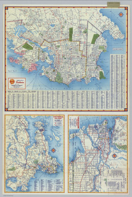
1951 Shell Street Map of Victoria. Victoria a … National Atlas Shell Street Map of Victoria. Victoria a … |

1956 Index: Mediterranean and Africa, Plate 7 … World Atlas (Index to) Mediterranean and Africa. Mil … |

1956 Mediterranean and Africa, Plate 73, V. I … World Atlas Mediterranean and Africa. Miller's Prola … |

1956 Index: Spain and Portugal, Plate 74, V. … World Atlas (Index to) Spain and Portugal. Secant Co … |

1956 Spain and Portugal, Plate 74, V. IV World Atlas Spain and Portugal. The Geographical Ins … |

1956 Index: Spain North-East, Plate 75, V. IV World Atlas (Index to) Spain North-East. Conic Proje … |

1956 Spain North-East, Plate 75, V. IV World Atlas Spain North-East. The Geographical Insti … |

1956 Index: Portugal and Spain North-West, Pl … World Atlas (Index to) Portugal and Spain North-West … |

1956 Portugal and Spain North-West, Plate 76, … World Atlas Portugal and Spain N. W. The Geographica … |

1956 Index: Spain South, Plate 77, V. IV World Atlas (Index to) Spain South. Conic Projection … |

1956 Spain South, Plate 77, V. IV World Atlas Spain South. The Geographical Institute … |

1956 Index: Italy and Adriatic, Plate 78, V. … World Atlas (Index to) Italy and Adriatic. Secant Co … |

1956 Italy and Adriatic, Plate 78, V. IV World Atlas Italy and Adriatic. The Geographical Ins … |

1956 Index: Italy North, Plate 79, V. IV World Atlas (Index to) Italy North. Secant Conic Pro … |

1956 Italy North, Plate 79, V. IV World Atlas Italy North. The Geographical Institute … |

1956 Index: Italy Central, Plate 80, V. IV World Atlas (Index to) Italy Central. Secant Conic P … |

1956 Italy Central, Plate 80, V. IV World Atlas Italy Central. The Geographical Institut … |

1956 Index: Italy South, Plate 81, V. IV World Atlas (Index to) Italy South. Secant Conic Pro … |