Who What Where WhenREMOVEWHO
WHEN |
REFINE
Browse All : Atlas Map of United States from 1839
1-4 of 4
Author
Burr, David H., 1803-1875
Full Title
Map of the United States Of North America With parts of the Adjacent Countries, By David H. Burr. (Late Topographer to the Post Office.) Geographer to the House of Representatives of the U.S. John Arrowsmith. Entered ... July 10th, 1839, by David H. Burr ... District of Columbia.
Publisher
John Arrowsmith
Author
Mitchell, Samuel Augustus
Full Title
Map of the United States and Texas Engraved to Illustrate Mitchell's School and Family Geography. No. 4. (with) Map of Mexico and Guatimala ... No. 5. Engraved by W. Williams. Entered ... 1839, by S. Augustus Mitchell ... Connecticut.
Publisher
Thomas, Cowperthwait & Co.
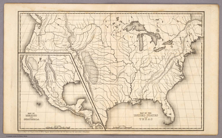
Author
Mitchell, Samuel Augustus
Full Title
Map of the United States and Texas. (with) Map of Mexico and Guatimala. Entered ... 1839, by S. Augustus Mitchell ... Pennsylvania.
Publisher
Thomas, Cowperthwait & Co.
Author
[Alaskan Boundary Tribunal, Tanner, H.S.]
Full Title
(Facsimile) A Map of North America Constructed According to the Latest Information by H.S. Tanner (portion). 1839. Alaskan Boundary Tribunal, 1903. 14. Photo. Lith. by A. Hoen & Co. Baltimore, MD.
Publisher
Government Printing Office
1-4 of 4
|