Browse All

1865 Venango Co., Pa. Regional Atlas Outline map of Venango Co., Pa. from act … |

1865 French Creek Township. Regional Atlas Plan of French Creek Township. (with) Ut … |

1865 Sandy Creek Township. Regional Atlas Plan of Sandy Creek Township. Entered .. … |

1865 Sugar Creek Township. Regional Atlas Plan of Sugar Creek Township. Entered .. … |

1865 Cranberry Township. Regional Atlas Plan of Cranberry Township. (with) Plan … |
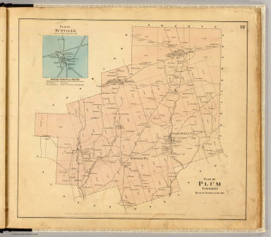
1865 Plum Township. Regional Atlas Plan of Plum Township. (with) Plan of Su … |

1865 Pine Grove Township. Regional Atlas Plan of Pine Grove Township. Entered ... … |

1865 Richland Township. Regional Atlas Plan of Richland Township. (with) Emlent … |

1865 Oakland Township. Regional Atlas Plan of Oakland Township. (with) Dempsey … |

1865 Rockland Township. Regional Atlas Plan of Rockland Township. (with) Plan o … |

1865 Irwin Township. Regional Atlas Plan of Irwin Township. (with) Mechanics … |

1865 Clinton Township. Regional Atlas Plan of Clinton Township. Entered ... 18 … |

1865 Scrub Grass Township. Regional Atlas Plan of Scrub Grass Township. Entered .. … |

1865 Canal Township. Regional Atlas Plan of Canal Township. Entered ... 1865 … |

1865 Jackson Township. Regional Atlas Plan of Jackson Township. (with) Coopert … |

1865 Cherrytree Township. Regional Atlas Plan of Cherrytree Township. (with) Plan … |

1865 Allegheny Township. Regional Atlas Plan of Allegheny Township. (with) Pleas … |

1865 President Township. Regional Atlas Plan of President Township. Entered ... … |

1865 Cornplanter Township. Regional Atlas Map of Cornplanter Township. (with) Plan … |

1865 Cherry Run, Plumer. Regional Atlas Plan of lands on Cherry Run. (with) Plum … |

1865 Oil Creek 1. Regional Atlas Sectional plan of Oil Creek. No. 1. Ente … |

1865 Oil Creek 2. Regional Atlas Sectional plan of Oil Creek. No. 2. Ente … |

1865 Oil Creek 3. Regional Atlas Sectional plan of Oil Creek. No. 3. Ente … |

1865 Oil Creek 4. Regional Atlas Sectional plan of Oil Creek. No. 4. Ente … |

1865 Oil Creek 5. Regional Atlas Sectional plan of Oil Creek. No. 5. Ente … |

1865 Allegheny River. Regional Atlas Plan of Allegheny River beginning at Cla … |

1865 Allegheny River. Regional Atlas Plan of Allegheny River (below Franklin … |

1865 Allegheny R. bends. Regional Atlas Plan of Walnut & Henry's bends, Alleghen … |

1865 Allegheny River. Regional Atlas Plan of Allegheny River from President t … |

1877 Oil Belt of Clarion County, Pennsylvania … County Atlas Map of the Oil Belt of Clarion County, P … |