|
REFINE
Browse All : Case Map of Mexico
1-26 of 26
Author
Rand McNally and Company
Full Title
Rand, McNally & Co's. general map of the Republic of Mexico constructed from the best authorities showing completed & proposed railways, steamship routes and telegraphic communications. Chicago, U.S. 1882. Rand, McNally & Co., Map Publisher and Engravers, Chicago, Ill. Copyrighted, 1882 by Rand, McNally & Co., Chicago, Ill.
Publisher
Rand McNally & Co.
Author
Brue, Adrien Hubert, 1786-1832
Full Title
Nouvelle Carte du Mexique, Et D'Une Partie Des Provinces Unies De L'Amerique Centrale. Dediee a l'Academie Royale des Sciences de l Institut de France. Par A.H. Brue, Geographe du Roi, Membre de la common. centrale de la societe de Geographie de Paris, membre-honoraire de celle de Londres, &a. Revue et augmentee par Ch. Picquet, Geographe du Roi et du Due d'Orleans, Proprietaire des Cartes et Atlas de Brue, Quai Conti No. 17, pres de l'Institut. Paris, 1839. Publiee en 1834; Revue en 1837, 1839 ... (with 2 inset maps).
Publisher
Charles Picquet
Author
[Cruchley, G., Laurie, Richard Holmes]
Full Title
Fredonia Or The United States of North America; Including Also Cabotia, Or The Canadian Provinces; The Western Territory To The Pacific Ocean; And the Northern Part of the Mexican States. 14th August, 1830. Additions 1833.
Publisher
G. Cruchley
Author
Wyld, James, 1812-1887
Full Title
(North Sheet) Mexico The British Possessions In North America And The United States. London. Published By Jas. Wyld, Geographer To The Queen, Charing Cross East. 1846. James Wyld, Geographer to the Queen and to H.R.H. Prince Albert, Charing Cross, East, four doors from Trafalgar Square, London ... (inset) North America. (inset) Islands in the Pacific Ocean.
Publisher
James Wyld
Author
Wyld, James, 1812-1887
Full Title
(South Sheet) Mexico The British Possessions In North America And The United States. London. Published By Jas. Wyld, Geographer To The Queen, Charing Cross East. 1846. James Wyld, Geographer to the Queen and to H.R.H. Prince Albert, Charing Cross, East, four doors from Trafalgar Square, London ... (inset) North America. (inset) Islands in the Pacific Ocean.
Publisher
James Wyld
Author
Williams, G. Washington.
Full Title
Williams' Copper - Plate Map Of The United States, Canada, Mexico, Central America, West Indies, &c. Published by John M. Atwood, 402 Locust Street, Philadelphia. Printed by F. Bourquin, 31 So. 6th Street, Phila. Copyright 1876 by G. Washington Williams.
Publisher
John M. Atwood
Author
Rand McNally and Company
Full Title
(South West section, Rand, McNally & Co.'s New Shippers' Railroad Map of the United States. Scale: 18 miles to one inch).
Publisher
Rand McNally & Co.
Author
Rand McNally and Company
Full Title
(Covers to) (Rand, McNally & Co.'s New Shippers' Railroad Map of the United States. Scale: 18 miles to one inch).
Publisher
Rand McNally & Co.
Author
Rand McNally and Company
Full Title
(Composite Map of) (Western section of Rand, McNally & Co.'s New Shippers' Railroad Map of the United States. Scale: 18 miles to one inch).
Publisher
Rand McNally & Co.
Author
[Cruchley, G., Laurie, Richard Holmes]
Full Title
Fredonia Or The United States of North America; Including Also Cabotia, Or The Canadian Provinces; The Western Territory California, Oregon and the Northern Part of the Mexican States. 1849.
Publisher
R. L. Laurie
Author
[Arrowsmith, Aaron, Humboldt, Alexander von, 1769-1859]
Full Title
A New Map Of Mexico And Adjacent Provinces Compiled From Original Documents By A. Arrowsmith. 1810. London, Published 5th October 1810, by A. Arrowsmith 10 Soho Sque. Hydrographer to His Majesty. Engraved by E. Jones ... (inset) Valley Of Mexico From Mr. Humboldt's Map. (inset) Veracruz. (inset) Acapulco.
Publisher
A. Arrowsmith
Author
Wyld, James, 1812-1887
Full Title
Mexico and Guatemala, Shewing the position of the Mines.
Publisher
James Wyld
Author
Freyhold, Edward; Warren, Gouverneur Kemble, 1830-1882; United States. Army. Corps of Engineers
Full Title
Map of the Territory of the U.S. West of the Miss. Riv. Sheet no. 4. (Prepared by authority of the Hon. the Secretary of War in the Office of the Chief of Engineers under the direction of Brig. General A.A. Humphreys Chief of Engineers and Brevet Maj. Gen. U.S. Army. By Edward Freyhold 1879) (with) Territory of Alaska.
Publisher
U.S. Topographical Engineers
Author
Freyhold, Edward; Warren, Gouverneur Kemble, 1830-1882; United States. Army. Corps of Engineers
Full Title
Map of the Territory of the U.S. West of the Miss. Riv. Sheet no. 5. (Prepared by authority of the Hon. the Secretary of War in the Office of the Chief of Engineers under the direction of Brig. General A.A. Humphreys Chief of Engineers and Brevet Maj. Gen. U.S. Army. By Edward Freyhold 1879)
Publisher
U.S. Topographical Engineers
Author
Freyhold, Edward; Warren, Gouverneur Kemble, 1830-1882; United States. Army. Corps of Engineers
Full Title
Map of the Territory of the U.S. West of the Miss. Riv. Sheet no. 6. Prepared by authority of the Hon. the Secretary of War in the Office of the Chief of Engineers under the direction of Brig. General A.A. Humphreys Chief of Engineers and Brevet Maj. Gen. U.S. Army. By Edward Freyhold 1879.
Publisher
U.S. Topographical Engineers
Author
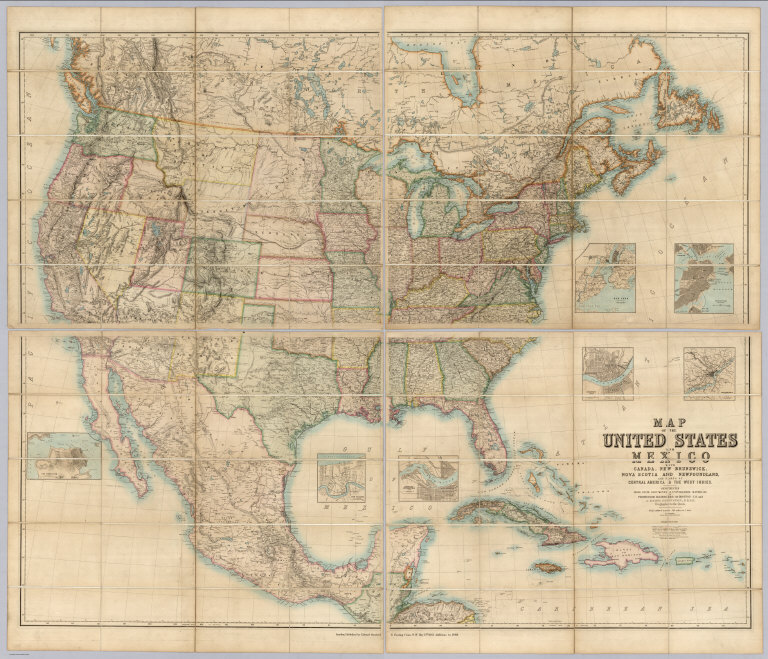
[Johnston, Alexander Keith, 1804-1871, Rogers, Henry Darwin, Stanford, Edward]
Full Title
(Covers to) Map Of The United States And Mexico With Canada, New Brunswick, Nova Scotia and Newfoundland, And Parts Of Central America & The West Indies. Constructed From State Documents & Unpublished Materials By Professor H.D. Rogers of Boston U.S. and A. Keith Johnston, F.R.S.E Geographer to the Queen. London; Published by Edward Stanford, 6 Charing Cross, S.W. May 13th. 1861. Additions to 1869.
Publisher
Edward Stanford
Author
[Lubrecht, Charles, Rosa, R.]
Full Title
The American Continent. Topographical and railroad map of the United States, British Possessions, West Indies, Mexico and Central America. Compiled from the best authorities, by R. Rosa, late Col. 46th Regt. N.Y.S. Vol. Published by Ch. Lubrecht & Co., 12 Frankfort Street, New York. 1864. Agents For Great Britain: Bacon & Co., 48 Paternoster Row, London, England. For Germany, Switzerland And Italy: Fr. Volkmar, Leipsic. Lubrecht & Co., Stuttgart. Revised Edition. Entered ... 1864, by Ch. Lubrecht & Co. ... New York. (with) Central America.
Publisher
Charles Lubrecht & Co.
Author
[Arrowsmith, Aaron, Humboldt, Alexander von, 1769-1859]
Full Title
A New Map of Mexico and Adjacent Provinces Compiled from Original Documents by A. Arrowsmith. 1810. London. Published 5th October 1810 by A. Arrowsmith, 10 Soho Sque. Hydrographer to H.R.H. the Prince of Wales. Engraved by E. Jones. (with) three inset maps: Valley of Mexico, from Mr. Humboldt's Map; Veracruz; and Acapulco.
Publisher
A. Arrowsmith
Author
Brue, Adrien Hubert, 1786-1832
Full Title
(Covers to) Nouvelle Carte du Mexique, Et D'Une Partie Des Provinces Unies De L'Amerique Centrale. Dediee a l'Academie Royale des Sciences de l Institut de France. Par A.H. Brue, Geographe du Roi, Membre de la common. centrale de la societe de Geographie de Paris, membre-honoraire de celle de Londres, &a. Revue et augmentee par Ch. Picquet, Geographe du Roi et du Due d'Orleans, Proprietaire des Cartes et Atlas de Brue, Quai Conti No. 17, pres de l'Institut. Paris, 1839. Publiee en 1834; Revue en 1837, 1839 ... (with 2 inset maps).
Publisher
Charles Picquet
Author
Wyld, James, 1812-1887
Full Title
(Covers to) Mexico The British Possessions In North America And The United States. London. Published By Jas. Wyld, Geographer To The Queen, Charing Cross East. 1846. James Wyld, Geographer to the Queen and to H.R.H. Prince Albert, Charing Cross, East, four doors from Trafalgar Square, London ... (inset) North America. (inset) Islands in the Pacific Ocean.
Publisher
James Wyld
Author
Wyld, James, 1812-1887
Full Title
(Composite to) Mexico The British Possessions In North America And The United States. London. Published By Jas. Wyld, Geographer To The Queen, Charing Cross East. 1846. James Wyld, Geographer to the Queen and to H.R.H. Prince Albert, Charing Cross, East, four doors from Trafalgar Square, London ... (inset) North America. (inset) Islands in the Pacific Ocean.
Publisher
James Wyld
Author
[Johnston, Alexander Keith, 1804-1871, Rogers, Henry Darwin, Stanford, Edward]
Full Title
(Covers to) Map Of The United States And Mexico With Canada, New Brunswick, Nova Scotia and Newfoundland, And Parts Of Central America & The West Indies. Constructed From State Documents & Unpublished Materials By Professor H.D. Rogers of Boston U.S. and A. Keith Johnston, F.R.S.E Geographer to the Queen. London; Published by Edward Stanford, 6 Charing Cross, S.W. May 13th. 1861. Additions to 1869.
Publisher
Edward Stanford
Author
[Lubrecht, Charles, Rosa, R.]
Full Title
(Covers to) The American Continent. Topographical and railroad map of the United States, British Possessions, West Indies, Mexico and Central America. Compiled from the best authorities, by R. Rosa, late Col. 46th Regt. N.Y.S. Vol. Published by Ch. Lubrecht & Co., 12 Frankfort Street, New York. 1864. Agents For Great Britain: Bacon & Co., 48 Paternoster Row, London, England. For Germany, Switzerland And Italy: Fr. Volkmar, Leipsic. Lubrecht & Co., Stuttgart. Revised Edition. Entered ... 1864, by Ch. Lubrecht & Co. ... New York. (with) Central America.
Publisher
Charles Lubrecht & Co.
Author
Monk, Jacob
Full Title
(Covers to) Monk's new map of Central America, Yucatan & Florida including Cuba, Jamaica and the Bahama Islands, exhibiting those portions of Alabama, Mississippi, Louisiana, Texas & Mexico bordering on the Gulf of Mexico. Compiled from the latest government maps and orther (sic) authentic sources. 1857. Baltimore, drawn, engraved and printed by A. Hoen & Co. and published by Jacob Monk. Entered ... 1856 by Jacob Monk ... Maryland. (with) Map of the World on Mercator's projection, exhibiting the continent of America in central position...
Publisher
Jacob Monk
Author
Monk, Jacob
Full Title
Monk's new map of Central America, Yucatan & Florida including Cuba, Jamaica and the Bahama Islands, exhibiting those portions of Alabama, Mississippi, Louisiana, Texas & Mexico bordering on the Gulf of Mexico. Compiled from the latest government maps and orther (sic) authentic sources. 1857. Baltimore, drawn, engraved and printed by A. Hoen & Co. and published by Jacob Monk. Entered ... 1856 by Jacob Monk ... Maryland. (with) Map of the World on Mercator's projection, exhibiting the continent of America in central position...
Publisher
Jacob Monk
Author
Rand McNally and Company
Full Title
(Covers to) Rand, McNally & Co's. general map of the Republic of Mexico constructed from the best authorities showing completed & proposed railways, steamship routes and telegraphic communications. Chicago, U.S. 1882. Rand, McNally & Co., Map Publisher and Engravers, Chicago, Ill. Copyrighted, 1882 by Rand, McNally & Co., Chicago, Ill.
Publisher
Rand McNally & Co.
1-26 of 26
|