1812
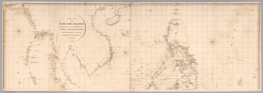
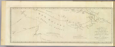
Top sheet: Chart of the East India Islan
…
Chart Map
(Top sheet of) Chart of the East India I
…
|

1812
Bottom sheet: Chart of the East India Is
…
Chart Map
(Bottom sheet of) Chart of the East Indi
…
|

1812
Composite: Chart of the East India Islan
…
Chart Map
(Composite of) Chart of the East India I
…
|

1764
Carte des isles de Java, Sumatra, Borneo
…
Chart Atlas
Carte des isles de Java, Sumatra, Borneo
…
|

1764
Carte de l'Isle de Sumatra
Chart Atlas
Carte de l'Isle de Sumatra.
|

1764
Carte de l'isle de Java
Chart Atlas
Carte de l'isle de Java. (Engraved by) C
…
|

1764
Carte des environs de Batavia, tiree des
…
Chart Atlas
Carte des environs de Batavia, tiree des
…
|

1764
Carte particuliere des isles Moluques.
Chart Atlas
Carte particuliere des isles Moluques.
|

1773
New Britain discoveries.
Exploration Book
A chart of Captn. Carteret's discoveries
…
|

1773
Dangerous shoal.
Exploration Book
A dangerous shoal seen Septr. the 28, 17
…
|

1773
Bonthain Bay.
Exploration Book
A draught of Bonthain Bay situated about
…
|