Browse All
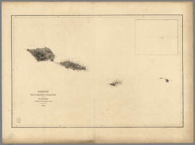
1841 Samoan or Navigator Islands. Chart Map Samoan or Navigator Islands by the U.S. … |

1841 Harbour of Pago Pago, Island of Tutuila. Chart Map Harbour of Pago Pago, Island of Tutuila … |

1841 Port Ludlow, Port Gamble, Hoods Canal, O … Chart Map Port Ludlow, Hoods Canal, Oregon Territo … |

1841 St. Juan Harbour, Straits of Fuca, Vanco … Chart Map St. Juan Harbour, Straits of Fuca, Vanco … |

1841 Channel of the North Side of Vanua Levu … Chart Map Channel of the North Side of Vanua Levu … |

1840 Channel on the South Western Side of Van … Chart Map Channel on the South Western Side of Van … |

1839 Island of Upolu, Samoan Group. Chart Map Island of Upolu, Samoan Group by the U.S … |

1841 Scabock (Seabeck) Harbour, Hooetzen Harb … Chart Map Scabock Harbour, Hoods Canal, Oregon Ter … |

1828 (Tasman Sea and New Zealand) Chart Map (Tasman Sea and New Zealand) (with) eigh … |
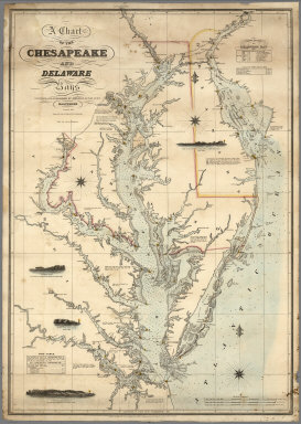
1862 A Chart of the Chesapeake And Delaware B … Chart Map A Chart of the Chesapeake And Delaware B … |

1807 Chart of Shetland Isles and Orkney Islan … Chart Map (Chart of Shetland Isles and Orkney Isla … |

1863 San Francisco Harbour Surveyed by Lieut. … Chart Map N. America West Coast. San Francisco Har … |

1882 Charleston Harbour, from the United Stat … Chart Map America East Coast: Charleston Harbour, … |

1849 Chart of the North Pacific Ocean. Chart Map Chart of the North Pacific Ocean, Exhibi … |
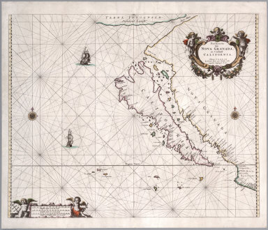
1666 Paskaerte van Nova Granada, en t'Eylandt … [Chart Map, Separate Map] Paskaerte van Nova Granada, en t'Eylandt … |

1846 New Chart of the Windward Passages Chart Map A New Chart of the Windward Passages Con … |

1852 San Pablo Bay, Carquines Straits. Chart Map Chart of the Bay of San Pablo Straits Of … |

1870 Chart of the Indian and Part of the Paci … Chart Map A General Chart of the Indian and Part o … |

1852 General chart, San Francisco Bay. Chart Map General chart embracing surveys of the F … |

1852 Farallones, San Francisco Bay. Chart Map Chart of the Farallones and entrance to … |

1852 Suisun, Vallejo bays. Chart Map Chart of Suisun & Vallejo bays with the … |

1852 Sacramento River. Chart Map Chart of the Sacramento River from Suisu … |

1852 Carquines Straits, Vallejo Bay, other an … Chart Map Straits of Carquines and Vallejo Bay by … |

1857 U.S. Coast Survey: City Of San Francisco … Chart Map U.S. Coast Survey A.D. Bache, Superinten … |

1884 San Francisco entrance, California : 188 … Chart Map San Francisco entrance, California : 188 … |
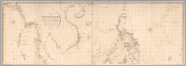
1812 Top sheet: Chart of the East India Islan … Chart Map (Top sheet of) Chart of the East India I … |

1812 Bottom sheet: Chart of the East India Is … Chart Map (Bottom sheet of) Chart of the East Indi … |

1812 Composite: Chart of the East India Islan … Chart Map (Composite of) Chart of the East India I … |

1799 Chart of the coast of Egypt Chart Map Chart of the coast of Egypt, from Alexan … |

1863 Chart Of The World On Mercators Projecti … [Case Map, Chart Map] Chart Of The World On Mercators Projecti … |

1840 A Chart of the Chesapeake And Delaware B … Chart Map A Chart of the Chesapeake And Delaware B … |
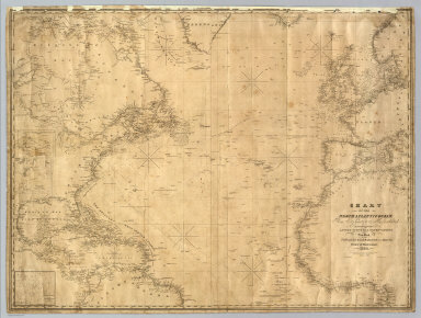
1835 North Atlantic Ocean. Chart Map Chart Of The North Atlantic Ocean, From … |

1837 Chart Of Georges Shoal & Bank. [Case Map, Chart Map] Chart Of Georges Shoal & Bank, Surveyed … |

1845 New York Bay And Harbor. Chart Map Map of New - York Bay And Harbor And The … |

1853 General chart of the coasts of Brasil, & … Chart Map General chart of the coasts of Brasil, & … |

1789 A new general chart of the West Indies. Chart Map A new general chart of the West Indies f … |

1803 Chart Of The West Indies And Spanish Dom … Chart Map Chart Of The West Indies And Spanish Dom … |

1882 World On Mercator's Projection [Chart Map, Wall Map] Chart Of The World On Mercator's Project … |

1859 Entrance to San Francisco Bay California … Chart Map Entrance to San Francisco Bay California … |

1905 San Francisco entrance, California. Chart Map San Francisco entrance, California. Publ … |

1926 United States - West Coast. San Francisc … Chart Map United States - West Coast. San Francisc … |

1828 Mappemonde. Chart Atlas Mappemonde ou carte reduite des parties … |

1818 Grand Ocean. Chart Atlas Carte reduite du Grand Ocean compris ent … |

1828 Cotes, l'Amerique, l'Asie. Chart Atlas Carte des cotes de l'Amerique et de l'As … |

1828 Cote NO, l'Amerique. Chart Atlas Carte de la partie de la cote nord-ouest … |

1828 Cote NO, l'Amerique 1. Chart Atlas Cote nord-ouest de l'Amerique. Reconnue … |

1828 Cote NO, l'Amerique 2. Chart Atlas Cote nord-ouest de l'Amerique. Reconnue … |

1828 Cote NO, l'Amerique 3. Chart Atlas Cote nord-ouest de l'Amerique. Reconnue … |

1828 Cote NO, l'Amerique 4. Chart Atlas Cote nord-ouest de l'Amerique. Reconnue … |

1828 Cote NO, l'Amerique 5. Chart Atlas Cote nord-ouest de l'Amerique. Reconnue … |