Browse All

1741 Die Festung Willmanstrandt National Atlas Die Festung Willmanstrandt wo die Russ. … |

1736 Charte der Kriegsoperationen am Donn und … National Atlas Charte der Kriegs Operationen am Donn un … |
1736 Charte derer von der Russisch-Keyser Arm … National Atlas Charte derer von der Russisch-Keyser Arm … |

1737 Verus Chersonesi Tauricae Seu Crimeae Co … National Atlas Verus Chersonesi Tauricae Seu Crimeae Co … |

1737 Text Page: Explicatio Duarum Tabularum G … National Atlas (Text Page to) Explicatio Duarum Tabular … |

1737 Theatrum Belli Ao MDCCXXXVII National Atlas Theatrum Belli Ao MDCCXXXVII. a milite A … |

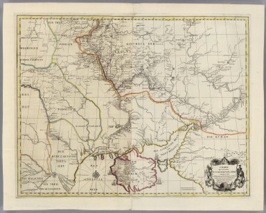
1738 Theatrum Belli ad Borysthenem Tyram & Da … National Atlas Theatrum Belli ad Borysthenem Tyram & Da … |

1739 Plan Batalii pri Stavuchanakh v Moldavii National Atlas Plan Batalii pri Stavuchanakh v Moldavii … |

1932 Plate 160. Military History. American Re … [Historical Atlas, National Atlas] Plate 160. Military History. The America … |

1932 Plate 161. Military History. Colonial Wa … [Historical Atlas, National Atlas] Plate 161. Military History. Colonial Wa … |

1932 Plate 162. Military History. 1812 - 1847 … [Historical Atlas, National Atlas] Plate 162. Military History. 1812. Jacks … |

1932 Plate 163. Military History. Civil War 1 … [Historical Atlas, National Atlas] Plate 163. Military History. Civil War 1 … |

1932 Plate 164. Military History. Virginia Ca … [Historical Atlas, National Atlas] Plate 164. Military History. Virginia Ca … |

1932 Plate 165. Military History. American Wa … [Historical Atlas, National Atlas] Plate 165. Military History. Spanish Ame … |

1840 Mapa de Venezuela ... guerra de independ … National Atlas Mapa de Venezuela para servir a la histo … |

1840 Mapa de Venezuela, N. Granada y Quito, 1 … National Atlas Mapa de Venezuela, Nueva Granada y Quito … |

1840 Mapa de Venezuela, Cundinamarca y Ecuado … National Atlas Mapa de los tres Departamentos Venezuela … |

1840 Mapa, Ecuador, Peru y Bolivia, 1826. National Atlas Mapa que contiene una parte de la Republ … |

1796 Plan of Fort Erie. National Atlas Plan of Fort Erie. PL. 3. |

1796 Plan of Fort Niagara. National Atlas Plan of Fort Niagara. PL. 4. |

1796 Plan of an Old Fort in the state of Kent … National Atlas Plan of an Old Fort in the state of Kent … |

1796 Plan of St. Lewis With the Project of an … National Atlas Plan of St. Lewis With the Project of an … |

1796 Map of the Country Of The Illinois. National Atlas Map of the Country Of The Illinois. PL. … |

1796 Plan Of Nogales. National Atlas Plan Of Nogales. Grave par Tardieu l'ain … |

1796 Town and Fort of Natchez. National Atlas Town and Fort of Natchez. Grave par Tard … |

1796 Plan Of Fort Baton Rouge. National Atlas Plan Of Fort Baton Rouge. Grave par Tard … |

1796 Sketch of new Orleans taken from fort St … National Atlas Sketch of new Orleans taken from fort St … |