Browse All

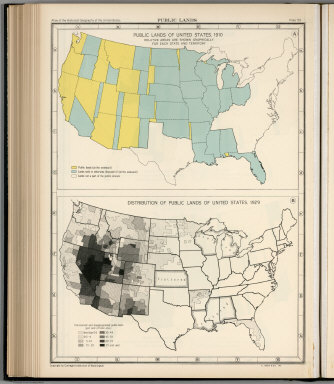
1932 Plate 57. Public Lands of United States, … [Historical Atlas, National Atlas] Plate 57. Public Lands. Public Lands of … |

1932 Plate 58. Public Lands of United States, … [Historical Atlas, National Atlas] Plate 58. Public Lands. Public Lands of … |
1932 Plate 59. Public Lands of United States, … [Historical Atlas, National Atlas] Plate 59. Public Lands. Public Lands of … |
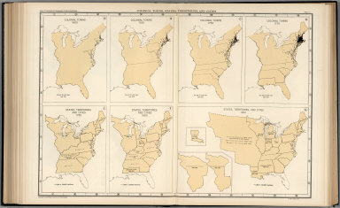
1932 Plate 61. Colonial Towns, States, Territ … [Historical Atlas, National Atlas] Plate 61. Colonial Towns, States, Territ … |

1932 Plate 62. States, Territories and Cities … [Historical Atlas, National Atlas] Plate 62. States, Territories and Cities … |

1932 Plate 63. States, Territories and Cities … [Historical Atlas, National Atlas] Plate 63. States, Territories and Cities … |

1932 Plate 64. States, Territories and Cities … [Historical Atlas, National Atlas] Plate 64. States, Territories and Cities … |

1932 Plate 65. States, Territories and Cities … [Historical Atlas, National Atlas] Plate 65. States, Territories and Cities … |

1932 Plate 66. States, Territories and Cities … [Historical Atlas, National Atlas] Plate 66. States, Territories and Cities … |

1932 Plate 67. States and Cities: Population, … [Historical Atlas, National Atlas] Plate 67. States and Cities: Population. … |

1866 Cover: Maps accompanying Report ... Gene … National Atlas (Covers to) Maps accompanying Report of … |

1866 Contents: Maps accompanying Report ... G … National Atlas (Contents to) Maps accompanying Report o … |

1866 State of Ohio. National Atlas State of Ohio. Department of Interior, G … |

1866 Indiana. National Atlas A Diagram of the State of Indiana. Depar … |

1866 Illinois. National Atlas Map of the State of Illinois. Department … |

1866 Michigan. National Atlas Sketch of the Public Surveys in Michigan … |

1866 Wisconsin. National Atlas Sketch of the Public Surveys in the Stat … |

1866 Minnesota. National Atlas Sketch of the Public Surveys in the Stat … |

1866 Iowa. National Atlas Diagram of the Public Surveys in Iowa. D … |

1866 Dakota Territory National Atlas Dakota Territory. Department of the Inte … |

1866 Missouri. National Atlas State of Missouri. Department of the Int … |

1866 Arkansas. National Atlas Map of Arkansas. Department of the Inter … |

1866 Louisiana. National Atlas Map of Louisiana. Department of the Inte … |

1866 Mississippi. National Atlas Sketch of the Public Surveys in the Stat … |

1866 Alabama. National Atlas State of Alabama. Department of the Inte … |

1866 Florida. National Atlas Map of the State of Florida, Showing the … |

1866 Kansas, Nebraska. National Atlas (12) Map Showing the progress of the Pub … |

1866 Colorado Territory. National Atlas Map of Public Surveys in Colorado Territ … |

1866 New Mexico, Arizona. National Atlas Sketch of Public Surveys in New Mexico & … |

1866 Utah. National Atlas Map of the Territory of Utah. To accompa … |

1866 Nevada. National Atlas Map of the State of Nevada. To accompany … |

1866 California. National Atlas Map of the Public Surveys in California … |

1866 Oregon. National Atlas Oregon. Surveyor General's Office, Eugen … |

1866 Washington Territory. National Atlas Map of Public Surveys in the Territory o … |

1866 United States, Territories. National Atlas Map of the United States and Territories … |