Browse All

1874 Arkansas, Indian Terr. National Atlas Asher & Adams' Arkansas and portion of I … |

1874 Indian Terr., Texas NW portion. National Atlas Asher & Adams' Indian Territory and Texa … |

1845 Indian Terr., N. Texas, N.M. National Atlas A map of the Indian Territory, northern … |

1872 Utah, Arizona, New Mexico, Kansas, Color … [National Atlas, State Atlas] Atlas of the United States, Map of Utah, … |

1875 Arkansas and portion of Indian Territory … [Commercial Reference Book, National Atl Asher & Adams' Arkansas and portion of I … |

1875 Indian Territory and Texas, North West P … [Commercial Reference Book, National Atl Asher & Adams' Indian Territory and Texa … |

1875 Indian. Ty. National Atlas Cram's Rail Road & Township Map of India … |

1885 Indian Territory National Atlas Indian Territory. (to accompany) Bradstr … |

1844 A map of the Indian territory : Northern … National Atlas A map of the Indian territory : Northern … |

1845 A map of the Indian Territory, northern … National Atlas A map of the Indian Territory, northern … |

1876 Texas and the Indian Territory. National Atlas Gray's Map of Texas and the Indian Terri … |

1878 Indian Territory (Oklahoma). National Atlas Cram's Rail Road & Township Map of India … |
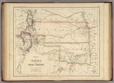
1857 Territory of Kansas And Indian Territory … National Atlas Territory of Kansas And Indian Territory … |

1889 Indian Territory, New Mexico, South Dako … National Atlas Indian Territory, New Mexico, South Dako … |

1856 Western States. National Atlas Western States, including California, Or … |

1903 Text Page: Texas. Indian Territory (Okla … National Atlas (Text Page) Rand, McNally Co.'s Texas. R … |

1903 Text Page: Texas. Indian Territory (Okla … National Atlas (Text Page) Rand, McNally Co.'s Indian T … |

1903 Oklahoma and Indian Territory. National Atlas Rand, McNally & Co.'s Oklahoma and India … |

1879 (Texas and Indian Territory) National Atlas (Texas and Indian Territory). Engraved a … |