Browse All

1831 West Indies. National Atlas The West Indies from the Best Authoritie … |

1796 Map of the West Indies. National Atlas An Accurate Map of the West Indies with … |

1811 Carte Du Mexique et des Pays Limitrophes … National Atlas Carte Du Mexique et des Pays Limitrophes … |

1776 An Accurate Map Of North America. (South … National Atlas An Accurate Map Of North America. Descri … |

1867 West Indies. National Atlas West Indies. |

1845 West India Islands. National Atlas West India islands. (By Sidney E. Morse … |

1872 West Indies. [National Atlas, State Atlas] Map of the West Indies. Warner & Beers, … |

1825 Indes Occidentales. National Atlas Carte geographique, statistique et histo … |

1838 North America. National Atlas North America. Entered ... 1838, by T.G. … |

1826 The West Indies. National Atlas The West Indies from the Best Authoritie … |

1838 West Indies. National Atlas West Indies. (inset) Bermudas. Entered . … |

1857 West Indies. National Atlas West Indies. Island Of Cuba, (Spanish) J … |

1529 Plate 13 Facsimile Cartography 1492-1867 … [Historical Atlas, National Atlas] Plate 13. Cartography 1492-1867. Verraza … |

1827 North America. National Atlas Map of North America including All the R … |

1827 West Indies. National Atlas The West Indies from the Best Authoritie … |

1884 West Indies and Central America. National Atlas West Indies and Central America. (inset) … |

1845 West India Islands National Atlas West India Islands. (By Sidney E. Morse … |

1840 Mapa de las costas de Tierra-Firme. National Atlas Mapa de las costas de Tierra-Firme, desd … |

1840 Mapa politico de Venezuela, antes 1810, … National Atlas Mapa politico de Venezuela antes de la R … |

1776 A Compleat Map of the West Indies. National Atlas A Compleat Map of the West Indies, Conta … |

1795 Chart of the West Indies. National Atlas A Chart of the West Indies, From the lat … |
1746 Composite: A Map of the British Empire i … National Atlas (Composite Map of) A Map of the British … |

1852 United States, Mexico, Central America, … National Atlas (United States, Mexico, Central America, … |

1827 Florida, West Indies. National Atlas Map of Florida according to the Latest A … |

1924 Text Page: West Indies - Geographical Fe … National Atlas (Text Page) The West Indies - Islands, L … |

1924 West Indies. National Atlas Commercial Atlas of America. Rand McNall … |

1889 Text Page: Cuba. National Atlas (Text Page) Rand, McNally & Co.'s Cuba. |

1889 Text Page: Mexico. National Atlas (Text Page) Rand, McNally & Co.'s Mexico … |

1857 West Indies. National Atlas West Indies. Entered according to the Ac … |

1903 Text Page: West Indies. National Atlas (Text Page) Rand, McNally Co.'s West Ind … |

1903 West Indies. National Atlas Rand, McNally & Co.'s West Indies. (with … |

1889 West Indies. National Atlas Rand, McNally & Co.'s West Indies. |

1822 Map of the West Indies. National Atlas Geographical, Historical, And Statistica … |

1822 Windward Islands. National Atlas Geographical, Historical, And Statistica … |

1822 Leeward Islands. National Atlas Geographical, Historical, And Statistica … |

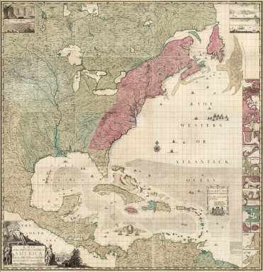
1733 A Map of the British Empire in America. … National Atlas A Map of the British Empire in America w … |

1733 A Map of the British Empire in America. … National Atlas A Map of the British Empire in America w … |

1746 A Map of the British Empire in America. … National Atlas A Map of the British Empire in America w … |

1746 A Map of the British Empire in America. … National Atlas A Map of the British Empire in America w … |

1879 West Indies. National Atlas Rand, McNally & Co.'s West Indies. |