Browse All

1841 Grays Harbour, Oregon Territory (Washing … Chart Map Grays Harbour, Oregon Territory by the U … |

1841 Harbour of Waiakea (Hilo), Island of Haw … Chart Map Chart of the Harbour of Waiakea, Island … |
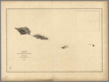
1841 Samoan or Navigator Islands. Chart Map Samoan or Navigator Islands by the U.S. … |

1841 Harbour of Pago Pago, Island of Tutuila. Chart Map Harbour of Pago Pago, Island of Tutuila … |

1841 Port Ludlow, Port Gamble, Hoods Canal, O … Chart Map Port Ludlow, Hoods Canal, Oregon Territo … |

1841 St. Juan Harbour, Straits of Fuca, Vanco … Chart Map St. Juan Harbour, Straits of Fuca, Vanco … |

1841 Channel of the North Side of Vanua Levu … Chart Map Channel of the North Side of Vanua Levu … |

1840 Channel on the South Western Side of Van … Chart Map Channel on the South Western Side of Van … |

1839 Island of Upolu, Samoan Group. Chart Map Island of Upolu, Samoan Group by the U.S … |

1841 Scabock (Seabeck) Harbour, Hooetzen Harb … Chart Map Scabock Harbour, Hoods Canal, Oregon Ter … |