Who What Where WhenREMOVEWHO
WHEN |
REFINE
Browse All : Composite Map by Metzeroth, C. and Edler from 1851
1-6 of 6
Author
Turner, Stanley
Full Title
Dated events, World War map, by Stanley Turner A.R.C.A. Printed in Canada by R.G. McLean Limited, Toronto. Copyright C.C. Petersen Advertising, 57 Qeen St. West, Toronto. Second edition. Price 25 cents. (insets) Western hemisphere. Part of the Eastern hemisphere. Africa.
Publisher
C.C. Petersen Publishing and Advertising
Author
News Map of the Week, Inc.
Full Title
World News of the Week : Monday, Apr. 20, 1942. Covering period Apr. 10 to Apr. 16. Military Edition. Distributed by Army Orientation Course, War Department. Volume 4, No. 33. Published and copyrighted, 1942, by News Map of the Week, Inc., 1512 Orleans Street, Chicago, Illinois. Lithographed in U.S.A. (inset maps) Philippines Fight on Many Fronts. (with) Firing line for the Raf.
Publisher
News Map of the Week, Inc.
Author
Burke, Howard
Full Title
The Pacific - Vital area for United States and Japan. Los Angels Examiner ... November 1942. Howard Burke. (inset) Palau Islands.
Publisher
Los Angeles Examiner
Author
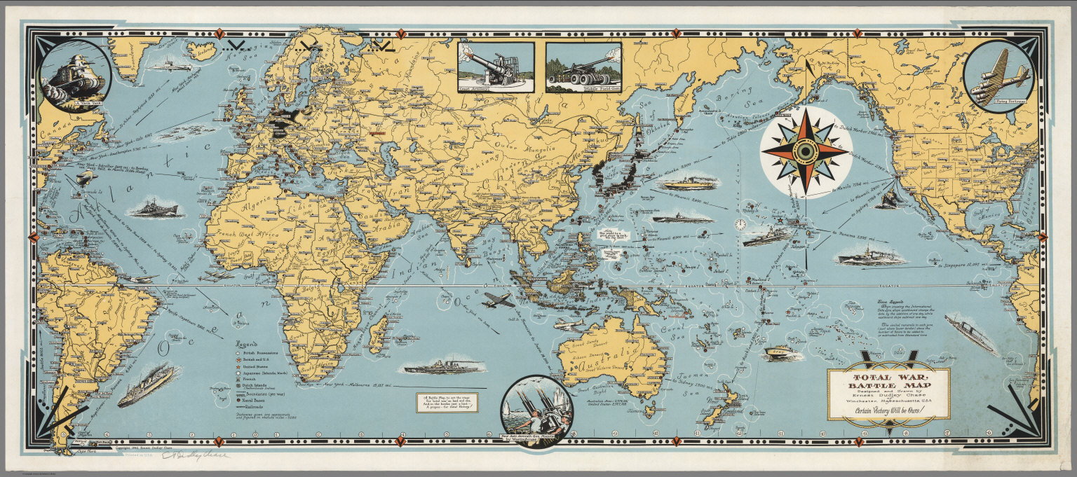
Chase, Ernest Dudley, 1878-1966
Full Title
Total War, Battle Map. Designed and Drawn by Ernest Dudley Chase of Winchester, Massachusetts, U.S.A. Certain Victory Will be Ours.
Publisher
Ernest Dudley Chase
Author
Chase, Ernest Dudley, 1878-1966
Full Title
Japan, the target : a pictorial Jap-map : By Ernest Dudley Chase of Winchester, Mass. Published and copyright, Ernest Dudley Chase, Winchester, Mass. Printed in U.S.A.
Publisher
Ernest Dudley Chase
1-6 of 6
|