Browse All

1935 France as drawn by Ernest Dudley Chase Separate Map France as drawn by Ernest Dudley Chase o … |

1926 Booklovers Map of America Separate Map Booklovers Map of America: A Chart of Ce … |

1967 Alaska. W. D. Berry. Copyright Griffins, … Separate Map Alaska. W. D. Berry. Copyright Griffins, … |

1967 Key to Alaska plant and wildlife map, by … Separate Map Key to Alaska plant and wildlife map, by … |

1936 The story map of England. Egbert G. Jaco … Separate Map The story map of England. Egbert G. Jaco … |

1936 Story map of France. Colortext Publicati … Separate Map Story map of France. Colortext Publicati … |

1935 Italy, with Vatican City : as drawn and … Separate Map Italy, with Vatican City : as drawn and … |

1935 France: as drawn and published by Ernest … Separate Map France: as drawn and published by Ernest … |

1942 The story map of flying : Being a chroni … Separate Map The story map of flying : Being a chroni … |

1931 Chicago. U.S.A. Designed by Charles Turz … Separate Map Chicago. U.S.A. Designed by Charles Turz … |

1942 Japan, the target : a pictorial Jap-map Separate Map Japan, the target : a pictorial Jap-map … |

1945 Covers: Pictorial map of Forest Lawn Mem … Pocket Map (Covers to) Pictorial map of Forest Lawn … |

1945 Text Page: Pictorial map of Forest Lawn … Pocket Map (Text Page to) Pictorial map of Forest L … |

1945 Pictorial map of Forest Lawn Memorial - … Pocket Map Pictorial map of Forest Lawn Memorial - … |

1937 Southwestern National Monuments. Separate Map Southwestern National Monuments. Headqua … |

1933 View: Geographical Publishing Company's … Wall Map (View) The Geographical Publishing Compa … |

1933 View: Geographical Publishing Company's … Wall Map Europe. North America. South America. |

1926 United States and Alaska. Wall Map Excelsior Series Map of United States an … |

1921 Entire World in One Hemisphere. Portrait … Wall Map (Map of the Entire World in One Hemisphe … |

1935 Story Map of Scotland. Separate Map The Story Map of Scotland. |

1951 Covers: Pictorial Map and Visitor's Guid … Separate Map (Covers to) Pictorial Map and Visitor's … |

1951 Text: Pictorial Map and Visitor's Guide … Separate Map (Text page to) Pictorial Map and Visitor … |

1951 Pictorial Map and Visitor's Guide to For … Separate Map Pictorial Map and Visitor's Guide to For … |
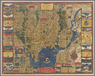
1928 New Haven. Separate Map New Haven. Published by the Edward P. Ju … |

1940 Decorative Map of Cape Cod. Separate Map Decorative Map of Cape Cod. The Reaches … |

1938 Chicago. The Greatest Inland City in the … Separate Map Chicago. The Greatest Inland City in the … |

1930 Boston Common with Surrounding Streets & … Separate Map Map of Boston Common with Surrounding St … |

1942 Total War, Battle Map. Separate Map Total War, Battle Map. Designed and Draw … |

1963 New York City Picture Map - a 3-D Map of … Separate Map New York (City) Picture Map. |

1962 New York City Picture Map - a 3-D Map of … Separate Map New York (City) Picture Map. |

1964 New York City Picture Map - a 3-D Map of … Separate Map New York (City) Picture Map. |

1842 Stream Of Time, or Chart Of Universal Hi … Wall Map Stream Of Time, Or Chart Of Universal Hi … |

1931 (Covers to) The Histomap. Timeline (Covers to) The Histomap. Four Thousand … |

1931 The Histomap. Timeline The Histomap. Four Thousand Years Of Wor … |

1885 The Unique Map Of California. Separate Map The Unique Map Of California. Copyrighte … |

1858 Cuadro historico-geroglifico, las tribus … National Atlas Cuadro historico-geroglifico de la pereg … |

1935 PWA rebuilds the Nation. Separate Map PWA rebuilds the Nation. Prepared by Div … |