Who What Where WhenREMOVEWHAT
|
Author
Morse, Sidney E.
Full Title
Massachusetts, Rhode-Island And Connecticut. On the Improved Plan of Sidney E. Morse, A.M. Entered ... second day of May, 1827, By Sidney E. Morse ... Connecticut. Published by N. & S.S. Jocelyn, New-Haven, Con. 1827. N. & S.S. Jocelyn Sc. (inset) Boston and its Vicinity.
Publisher
N. & S.S. Jocelyn
Author
Thompson, Zadock
Full Title
Map Of The State Of Vermont. By Zadock Thompson. Eng. by J.H. Hills.
Publisher
Z. Thompson
Author
Boardman, Harvey
Full Title
Map of the White Mountains New Hampshire From Original Surveys by Harvey Boardman, Griswold, Conn. Entered ... 1858 by Harvey Boardman ... Massachusetts.
Publisher
H. Boardman
Author
[Phelps, Humphrey, Miller, James]
Full Title
New York City Map. Published By James Miller, 436 Broadway, New York. Entered ... 1857, by Humphrey Phelps ... New York.
Publisher
James, Miller
Author
Viele, Egbert L.
Full Title
The West End Plateau Of The City Of New York. By Egbert L. Viele. (to accompany) The West End Plateau Of New York. Herman K. Viele Civil Engineer & City Surveyor. Johnson & Pratt Print. New York.
Publisher
Johnson & Pratt
Author
Nevers, Roderick
Full Title
The State Of Connecticut Including Parts Of New York And New Jersey. Hartford, Published by Roderick Nevers. 1852.
Publisher
Roderick Nevers
Author
[Carpenter, J., Carey Mathew]
Full Title
The State of Tennessee, 1832. Publd. by J. Carpenter 129 Clinton Hall, N.Y.
Publisher
J. Carpenter
Author
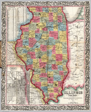
Thayer, Bridgman & Fanning
Full Title
Map Of Illinois. New York, Published By Thayer, Bridgman & Fanning, 156 William Street. 1853. Entered ... 1852 by Horace Thayer & Co. ... New York. (inset) Chicago.
Publisher
Thayer, Bridgman & Fanning
Author
Viele, Egbert L.
Full Title
The Transval Of New York.
Publisher
Johnson & Co., Printers
Author
Hamersley & Co.
Full Title
Map Of Connecticut By Hamersley & Co. Kellogg & Bulkeley Lith. Hartfd. Con.
Publisher
Kellogg & Bulkeley Lith.
Author
[Wells, John G., Morse, Charles]
Full Title
Indiana.
Publisher
J.G. Wells
Author
Barnes, R.L.
Full Title
Barnes's Rail Road, Canal & County Map Of Pennsylvania, New Jersey & Adjoining States. Published by R.L. Barnes No. 27 Sth. 6th St. Philadelphia 1865. Entered ...1864 by R.L. Barnes ... Pennsylvania.
Publisher
R.L. Barnes
Author
DeSilver, Robert
Full Title
The State of New Jersey, Compiled from the most Authentic Information. Compiled by Samuel Lewis. Engraved by W. Barker.
Publisher
Robert DeSilver
Author
Ensign, Bridgman & Fanning
Full Title
Map Of The City Of New York, With The Adjacent Cities Of Brooklyn, Jersey City, And Williamsburgh. Published By Ensign, Bridgman & Fanning. 156 William St. New York. 1860. Drawn & Engraved by John M. Atwood. 19 Beekman St. N.Y. Entered ... 1844 by Humphrey Phelps ... New York. (with two inset maps).
Publisher
Ensign, Bridgman & Fanning
Author
[Cavis, C.H.V., Eastman, Edison]
Full Title
Map of the White Mountains, And Vicinity. N.H. Prepared for Eastman's White Mountain Guide by C.H.V. Cavis. J.H. Bufford's Lith. Boston.
Publisher
Edison, Eastman
Author
Rockwell, George
Full Title
Map of part of the Thousand Islands Of The St. Lawrence River Near Alexandria Bay, N.Y. Corrected from an old Canada Map of 1815-16. (Names as known in 1874-5). Entered ... 1875 by Geo. Rockwell ... Washington. U.S.
Publisher
No Publisher
Author
Brown & Parsons
Full Title
Map Of Maine New Hampshire And Vermont, From the most authentic Sources. Published by Brown & Parsons Hartford Ct. 1847. (inset) North Part of Maine.
Publisher
Brown & Parsons
Author
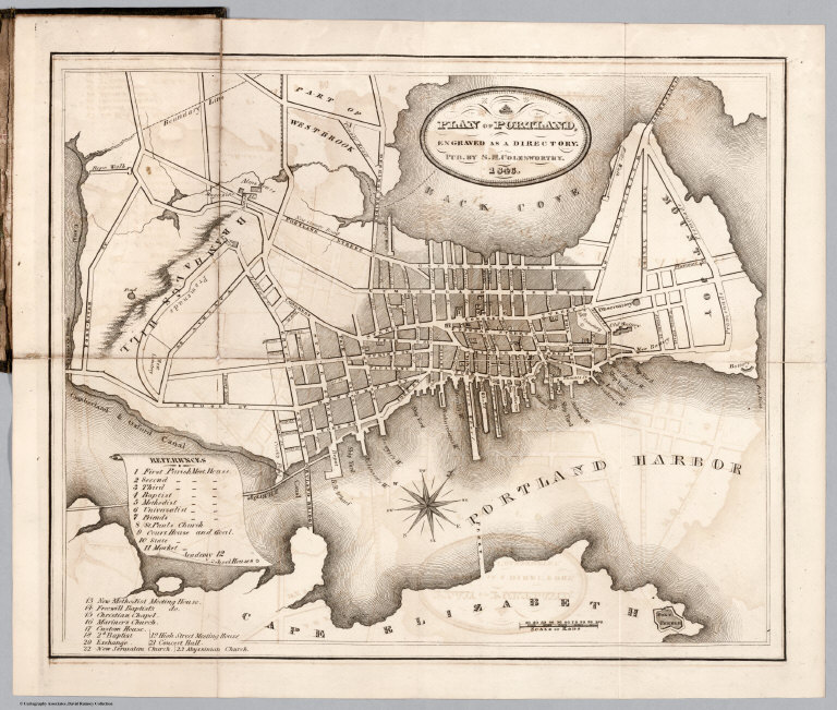
Colesworthy, S.H.
Full Title
A Plan Of Portland, Engraved As A Directory. Pub. By S.H. Colesworthy. 1846.
Publisher
S.H. Colesworthy
Author
[Gaston, Samuel N., Morse, Charles W.]
Full Title
Morse's Map Of Wisconsin. Published by Morse & Gaston, 115 and 117 Nassau St., New-York. Printed by Nic. Muller, 55 Beckman Street, New-York.
Publisher
Morse & Gaston
Author
Beers, Frederick W.
Full Title
Plan Of Berkshire Co. Massachusetts. Published Expressly For S. E. Nichols, Bookseller & Stationer, Pittsfield, Mass. Copyrighted 1876, by F. W. Beers & Co. (inset) Pittsfield. Scale 160 Rods to the inch.
Publisher
F.W. Beers & Co.
Author
Smith, J.L.
Full Title
Driving Map of Philadelphia and Vicinity. Published by J.L. Smith, 27 South Sixth St. Phila., Pa. 1882. Entered ... 1882 by J.L. Smith ... Washington.
Publisher
J.G. Wells
Author
Page, H.R. & Co.
Full Title
Map Of Michigan Compiled from the latest Authentic Sources. Published by H.R. Page & Co. Chicago, Ill. 1882. (with 2 inset maps).
Publisher
Page, H.R. & Co.
Author
Cram, George
Full Title
Karte Von Louisiana Mit Angabe der Bodenbeschaffenheit, aller Hauptortschaften, deren Einwohnerzahl, sowie den Eisenbahnentfernungen. Herausgegeben von der Staats Ackerbaubehorde Charles Schuler, Kommissionar. George F. Cram, Engraver and Printer, Chicago and New York. Copyright, 1908, by George F. Cram, Chicago. (with inset) Umgebung von New Orleans.
Publisher
George F. Cram
Author
MacCormac, Walter S.
Full Title
Map Of The Peninsula, Embracing Delaware And The Eastern Shore Of Maryland And Virginia, Compiled from U.S. Coast, and other Actual Surveys, and recent information obtained from various sources. By Walter S. MacCormac, Civ. Eng. Published by Smith & Stroup, Nos. 52 & 54 North Sixth Street, Philadelphia. 1879. Entered ... 1878, by E.W Smith ... Washington.
Publisher
Smith & Stroup
Author
Dearborn, Nathaniel
Full Title
New Map Of Massachusetts Compiled from The Latest and Best Authorities And Corrected by Permission From the Survey ordered by the Legislature in 1830. Carefully Revised And Additions Made In 1839. Boston. 3d. Edition Published By Nathl. Dearborn, Engraver & Printer, 53 Washington St. 1840. (inset) Boston. (4 additional inset maps).
Publisher
N. Dearborn
Author
Cooke, D.B & Co.
Full Title
D.B. Cooke & Co.'s Great Western Railway Guide. Exhibiting All Stations With Distances From Each other. Chicago, 1856. Entered ... 1856 by D.B. Cooke & Company. Middleton Wallace & Co. Lith. Cincinnati.
Publisher
Cooke, D.B & Co.
Author
Lloyd, J.T.
Full Title
Lloyd's Official Map Of The State Of Kentucky Compiled from Actual Surveys and Official Documents, Showing Every Rail Road & Rail Road Station with the distances between each station ... 1863. New York J.T. Lloyd, Publisher, 164 Broadway. Price. 50 Cents each, colored in sheets. Entered ... 1862 by J.T. Lloyd ...
Publisher
J.T. Lloyd
Author
Lloyd, J.T.
Full Title
Lloyd's Official Map Of The State Of Kentucky Compiled from Actual Surveys and Official Documents, Showing Every Rail Road & Rail Road Station with the distances between each station ... 1863. New York, J.T. Lloyd, Publisher, 164 Broadway. Entered ... 1862 by J.T. Lloyd... New York.
Publisher
J.T. Lloyd
Author
Farmer, John
Full Title
Map Of The Surveyed Part Of Michigan, By John Farmer. Published by J.H. Colton & Co. New-York. 1837. Engraved by S. Stiles & Co. New-York. Entered ... 1836, by J.H. Colton & Co ... New York. (inset) The Unsurveyed Part Of Michigan. (inset) Map Of The Straits Of Mackinaw. From Actual Survey. (inset) Map Of Mackinaw Isle.
Publisher
J.H. Colton & Co.
Author
Dodge, J.R.
Full Title
Township and Railroad Map Of New Hampshire, Compiled from the best authorities ... 1854. Published by J.R. Dodge, Nashua, N.H. L.H. Bradford & Co.'s Boston. Entered ... 1854 by J.R. Dodge ... New Hampshire.
Publisher
J.R. Dodge
Author
[Colton, G.W. & C.B., Howland, S.A.]
Full Title
Commercial Map of New England. Worcester Mass. S.A. Howland 1871. G.W. & C.B. Colton & Co. New York. (inset) The Northern Portion Of Maine. (with an 18 page index) Commercial Travelers' Pocket Map Of New England, Eastern New York And Long Island, Together With A Complete Census Of The New England States In 1860 and 1870. Worcester, Mass., Published By S.A. Howland. 1871. Entered ... 1871, by S.A. Howland, of Massachusetts ...
Publisher
S.A. Howland
Author
Dawson, James
Full Title
Nova Scotia, And Prince Edward's Island. 1847. Published By James Dawson Pictou N.S. W. Nichol & Co. Lithogrs. Edinr.
Publisher
James, Dawson
Author
[Hunter, C.M., Pleasant Hill Land Association]
Full Title
Plan Of Building Lots Of The Pleasant Hill Land Asso. 23rd Ward Philada, Pa. C.M. Hunter, Map Publisher 2326 Master St. Philada. (In: Pleasant Hill Land Association Receipt Book and Terms of Sale).
Publisher
C.M. Hunter
Author
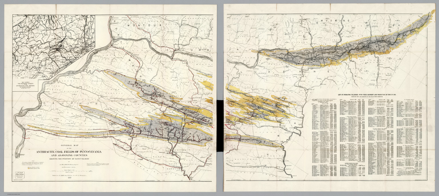
[Strauch, Geo. B., Cochran, A.B.]
Full Title
The Anthracite Coal Fields Of Pennsylvania With Their Outlets To Market. By Geo. B. Strauch And A.B. Cochran, Mining Engineers, Pottsville, Pa. 1878. Entered ... 1878 by Strauch & Cochran ... Washington D.C. T. Sinclair & Son. lith. Phila. (inset) Anthracite Coal Fields And Their Outlets To Market. Strauch & Cochran 1878
Publisher
T. Sinclair & Son Lith.
Author
Farmer, John
Full Title
Map Of The Surveyed Part Of Michigan, By John Farmer. Published By J.H. Colton. New-York. 1852. Engraved by S. Stiles & Co. New York. Entered ... 1852 by J.H. Colton & Co. ... New York. (inset) Northern Part of Michigan. (inset) Map Of The Straits Of Mackinaw From Actual Survey. (inset) Map of Mackinaw Isle.
Publisher
J.H Colton & Co.
Author
Farmer, John
Full Title
Map Of The Southern Part Of Michigan, By John Farmer. Published By J.H. Colton And Co. New-York. 1856. Engraved by S. Stiles & Co. New-York. Entered ... 1855 by J.H. Colton & Co. ... New York. (inset) Northern Part of Michigan. (inset) Map Of The Straits Of Mackinaw From Actual Survey. (inset) Map of Mackinaw Isle.
Publisher
J.H Colton & Co.
Author
Farmer, John
Full Title
Map Of The State Of Michigan And the Surrounding Country Exhibiting the Sections and the latest surveys. Compiled From Authentic Sources By John Farmer. Detroit. 23rd edition. Entered ... 1844 by John Farmer of Detroit. Entered ... by John Farmer of Detroit ... 1849. Reentered ... 1858 by John Farmer ... (inset) Plat of the Copper District on L. Superior. Engraved by John Farmer.
Publisher
John Farmer
Author
Farmer, John
Full Title
Colton's Sectional Map Of Michigan, By John Farmer. Published By J.H. Colton, New-York, 1865. (untitled inset map of Michigan and the Great Lakes).
Publisher
J.H. Colton
Author
[Farmer, John, Farmer, Silas]
Full Title
Farmer's Rail Road & Township Map Of Michigan And Chart Of The Lakes From U.S. Surveys & Other Authentic Sources. Drawn And Engraved By John Farmer, C.E. Silas Farmer & Co. (Successors To The Late John Farmer,) Publishers Of Sectional And Township Maps Of Michigan, Wisconsin, Lake Superior, Wayne County, Mich. &c. 35 Monroe Avenue, Detroit. 1868. Entered ... at Detroit ... 1857, by John Farmer...
Publisher
Silas Farmer & Co.
Author
[Frey, A.C., Nell, Louis]
Full Title
Frey & Nell's New England. Railroad, Topographical & Township Map of the States of Connecticut, Rhode Island, Massachusetts, Vermont, New Hampshire and Maine. New York, H.H. Lloyd & Co. Publishers, 21 John St. Concord, N.H. D.L. Guernsey & Co. 1867 ... American Photo-Lithographic Co. N. York. Osborne's Process. Entered ... 1867, by Frey & Nell ... New York. (untitled inset of Maine).
Publisher
[H.H. Lloyd & Co., D.L. Guernsey & Co.]
Author
Thayer, H. L.
Full Title
Thayer's Map of the Black Hills & Big Horn Country. Published By H.L Thayer Denver, Colorado. Carefully prepared from the Official Maps of the General Land Office. Explorations of Capt. Wm. Ludlow and from latest Maps of the routes of General Custer and other Officers of the Army, furnished by Capt. W.S. Stanton Chief Engr. Dept. of the Platte and from the Engineer Dept. at Washington. Entered ... 1877 by H.L. Thayer ... Washington. Edward Rollandet, Draftsman.
Publisher
H.L. Thayer
Author
Faust, H.W.
Full Title
Faust's Map Of City And County Of San Francisco California. Published By H.W. Faust. Latest Edition 1903. Copyrighted by H.W. Faust, 1903. Galloway Litho. Co. S.F. (inset) General View Of San Francisco Bay.
Publisher
H.W. Faust
Author
Thomas Bros.
Full Title
Thomas Bros. New Map Of City And County Of San Francisco. Published By Thomas Bros. Map Publishers, 461 Market Street, San Francisco ... 361 7th Street, Oakland ... Copyrighted By Thomas Bros. (on verso) New Map Of Oakland, Berkeley, Alameda, San Leandro, Piedmont, Emeryville, Albany ...
Publisher
Thomas Bros.
Author
Thomas Bros.
Full Title
New Map Of Oakland, Berkeley, Alameda, San Leandro, Piedmont, Emeryville, Albany ... (on verso) Thomas Bros. New Map Of City And County Of San Francisco. Published By Thomas Bros. Map Publishers, 461 Market Street, San Francisco ... 361 7th Street, Oakland ... Copyrighted By Thomas Bros.
Publisher
Thomas Bros.
Author
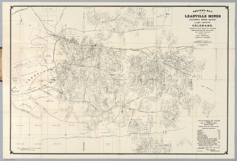
Thayer, H.L.
Full Title
Thayer's Map Of The Leadville Mines California Mining District Lake County Colorado. ... Compiled From The United States Surveys And County Records. Published by H.L. Thayer, Leadville, Colorado. Julius Bien, Photo-Lith. N.Y.
Publisher
H.L. Thayer
Author
[Smith, J.L., Smith, A. DW.]
Full Title
General Map Of The Anthracite Coal Fields Of Pennsylvania And Adjoining Counties Showing The Position Of Each Colliery. By A. DW. Smith, Mining Engineer. Wilkes-Barre, Penna. Published by J.L. Smith, Map Publisher, 27 S. 6th St., Philadelphia 1899. Copyrighted 1899 By A. DW. Smith. (inset) Map Showing The Railroad Outlets Of The Anthracite Coal Regions Of Pennsylvania.
Publisher
J.L. Smith
Author
[McMurray, William, Layne, J.P.]
Full Title
Map Of White Pine District Lander Co. Nev. Showing The Principal Mines. Made For J.P. Layne Esq. By Wm. Mc.Murray, C.E. Septr. 1868. Lith. Britton & Rey, S.F. (with profile) Section Through A.B. Treasure Mountain.
Publisher
Britton & Rey
Author
Webster, James
Full Title
Map of the United States Published by J. Webster, New York, 1836. Entered ... the 26th day of March 1833 by James Webster ... New York.
Publisher
James Webster.
Author
Mitchell, Samuel Augustus
Full Title
Map Of Florida according to the Latest Authorities. Published by S. Augustus Mitchell Philadelphia. 1834. (inset) Comparative Elevation of the Principal Mountains , Cities &e. in North & South America. (with map) The West Indies from the Best Authorities. Published by S. Augustus Mitchell Philadelphia. 1834.
Publisher
S. Augustus Mitchell
|