Browse All

1850 Map of the United States. Separate Map Map Of The United States And Their Terri … |

1850 Map of the United States, 1850 Separate Map Map of the United States. Hartd., Publis … |

1850 Map Of Mexico, Including Yucatan & Upper … Separate Map Map Of Mexico, Including Yucatan & Upper … |

1850 The World, on Mercator's Projection Separate Map The World, on Mercator's Projection: By … |

1850 Chart Prepared By James B. Moore Separate Map Chart Prepared By James B. Moore, To Acc … |
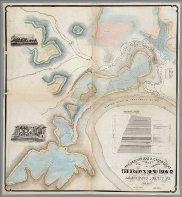
1850 Bradys Bend, Armstrong County Pennsylvan … Separate Map Topographical & Geological Map Of The Pr … |

1850 Pennsylvania's Great Highway And Its Tri … Separate Map Pennsylvania's Great Highway And Its Tri … |

1850 Chart, Polar Seas. Separate Map Chart of the Polar Seas. Engraved for Ha … |