Browse All

1840 Nouvelle Carte du Mexique, Du Texas. Separate Map Nouvelle Carte du Mexique, Du Texas Et D … |

1844 Map Of Texas And The Countries Adjacent. Separate Map Map Of Texas And The Countries Adjacent: … |

1861 Richardson's New Map Of The State Of Tex … Separate Map Richardson's New Map Of The State Of Tex … |

1891 Large Scale County and Railroad Map Of T … Separate Map Rand, McNally & Co.'s Large Scale County … |

1891 North Galveston. Separate Map Map of North Galveston, Texas. North Gal … |

1875 Map of the States of Kansas and Texas an … Separate Map Map of the States of Kansas and Texas an … |

1846 Map Of The United States, Mexico, Oregon … Separate Map Map Of The United States And Mexico, Inc … |

1848 Map Of The United States And Mexico Separate Map Ornamental Map Of The United States & Me … |

1846 Map Of The United States, Mexico, Oregon … Separate Map Map Of The United States And Mexico, Inc … |

1849 Map Of Mexico, Texas, Old And New Califo … Separate Map Map Of Mexico, Texas, Old And New Califo … |

1850 Map Of Mexico, Including Yucatan & Upper … Separate Map Map Of Mexico, Including Yucatan & Upper … |

1939 Texas the Lone Star State Separate Map Texas the Lone Star State. The Mentholat … |

1857 Texas of the United States of America. Separate Map Texas Of The United States Of America, S … |
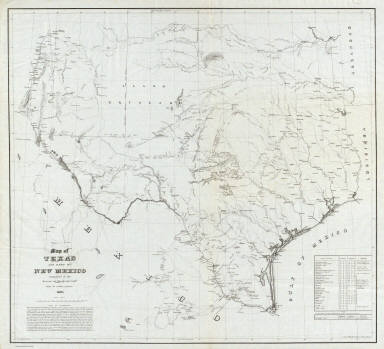
1857 Map of Texas and part of New Mexico. Separate Map Map of Texas and part of New Mexico comp … |

1844 Cover: Texas and the countries adjacent. Separate Map (Covers to) Map Of Texas And The Countri … |