Who What Where WhenREMOVEWHATWHEREWHO
WHEN |
REFINE
Browse All : State Atlas of United States from 1873
1-5 of 5
Author
[G.W. & C.B. Colton & Co., Walling, H. F.]
Full Title
Map of the United States of America. Entered according to act of Congress in the year 1873 by G.W. & C.B. Colton & Co ... Washington. (Drawn, compiled, and edited by H.F. Walling, C.E. ... Published by R.M. & S.T. Tackabury, Detroit, Mich. Entered ... 1873, by H.F. Walling ... Washington. The Claremont Manufacturing Company, Claremont, N.H., Book Manufacturers)
Publisher
R.M. & S.T. Tackabury
Author
[Mitchell, Samuel Augustus, Williams, W. (Wellington)]
Full Title
Map of the United States, and territories. Together with Canada &c. (with) Island of Newfoundland. Constructed & engraved by W. Williams, Philadelphia. Entered according to Act of Congress in the year 1872 by S. Augustus Mitchell in the Office of the Librarian of Congress at Washington. (1873)
Publisher
M.W. White
Author
Lloyd, H.H.
Full Title
Map of the United States and territories. Philadelphia, 1872. (by H.H. Lloyd. Published by Stedman, Brown & Lyon, Baltimore. 1873)
Publisher
Stedman, Brown & Lyon
Author
Lloyd, H.H.
Full Title
Atlas of the United States. Delaware, Illinois, Indiana, Iowa, Kentucky, Maryland, Missouri, New Jersey, North Carolina, Ohio, Pennsylvania, Tennessee, Virginia and West Virginia. (by H.H. Lloyd. Published by Stedman, Brown & Lyon, Baltimore. 1873)
Publisher
Stedman, Brown & Lyon
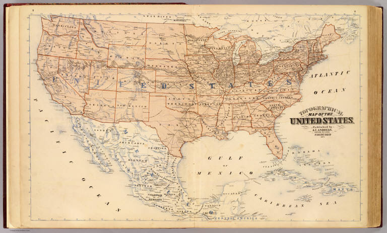
Author
Andreas, A. T. (Alfred Theodore), 1839-1900
Full Title
Topographical map of the United States. Published by A.T. Andreas, Lakeside Building, Chicago, 1873. (Chas. Shober & Co. Proprietors of Chicago Lith. Co.)
Publisher
A.T. Andreas
1-5 of 5
|