Browse All

1829 Franklin County. State Atlas Map of the County of Franklin. By David … |

1829 St. Lawrence County. State Atlas Map of the County of St. Lawrence. By Da … |

1829 Jefferson County. State Atlas Map of the County of Jefferson. By David … |

1829 Lewis County. State Atlas Map of the County of Lewis. By David H. … |

1829 Herkimer County. State Atlas Map of the County of Herkimer. By David … |

1829 Oneida County. State Atlas Map of the County of Oneida. By David H. … |

1829 Madison County. State Atlas Map of the County of Madison. By David H … |

1829 Oswego County. State Atlas Map of the County of Oswego. By David H. … |

1829 Otsego County. State Atlas Map of the County of Otsego. By David H. … |

1829 Chenango County. State Atlas Map of the County of Chenango. By David … |

1829 Broome County. State Atlas Map of the County of Broome. By David H. … |

1829 Cortland County. State Atlas Map of the County of Cortland by David H … |

1829 Tompkins County. State Atlas Map of the County of Tompkins. By David … |

1829 Tioga County. State Atlas Map of the County of Tioga. By David H. … |

1829 Steuben County. State Atlas Map of the County of Steuben. By David H … |

1829 Onondaga County. State Atlas Map of the County of Onondaga. By David … |

1829 Cayuga County. State Atlas Map of the County of Cayuga. By David H. … |

1829 Seneca County. State Atlas Map of the County of Seneca. By David H. … |

1829 Ontario, Yates counties. State Atlas Map of the counties of Ontario & Yates. … |

1829 Wayne County. State Atlas Map of the County of Wayne. By David H. … |

1829 Livingston County. State Atlas Map of the County of Livingston. By Davi … |

1829 Monroe County. State Atlas Map of the County of Monroe. By David H. … |

1829 Orleans County. State Atlas Map of the County of Orleans. By David H … |
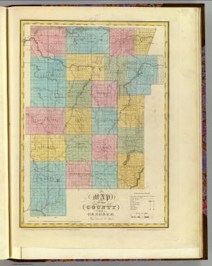
1829 Genesee County. State Atlas Map of the County of Genesee. By David H … |

1829 Allegany County. State Atlas Map of the County of Allegany. By David … |

1829 Niagara County. State Atlas Map of the County of Niagara. By David H … |

1829 Erie County. State Atlas Map of the County of Erie. By David H. B … |

1829 Cattaraugus County. State Atlas Map of the County of Cattaraugus. By Dav … |

1829 Chautauque County. State Atlas Map of the County of Chautauque (sic). B … |

1829 Map of the United States. [Manuscript Map, Wall Map] Map Of The United States. Eliza S. Ordwa … |

1829 E. Hemisphere. World Atlas Eastern Hemisphere. By Sidney Hall. Lond … |

1829 W. Hemisphere. World Atlas Western Hemisphere. By Sidney Hall. Lond … |

1829 World, Mercator's projection. World Atlas The world on Mercator's projection. By S … |

1829 British Isles. World Atlas British Isles by Sidney Hall. London, pu … |

1829 Portugal. World Atlas Portugal. By Sidney Hall. London, publis … |

1829 Asia. World Atlas Asia. By Sidney Hall. London, published … |

1829 Turkey in Asia. World Atlas Turkey in Asia. By Sidney Hall. London, … |

1829 Birmah, Anam, Siam. World Atlas Birmah, with part of Anam and Siam. By S … |

1829 Africa. World Atlas Africa. By Sidney Hall. London, publishe … |

1829 Egypt. World Atlas Egypt. By Sidney Hall. London, published … |

1829 Africa Southern. World Atlas Western Africa. By Sidney Hall. London, … |

1829 Africa Northern. World Atlas Northern Africa. By Sidney Hall. London, … |

1829 North America. World Atlas North America. By Sidney Hall. London, p … |

1829 British N. America. World Atlas British North America by Sidney Hall. Lo … |

1829 South America. World Atlas South America. By Sidney Hall. London, p … |

1829 Chili, La Plata, Bolivia. World Atlas Chili, La Plata, and Bolivia or Upper Pe … |

1829 Afrique Propre. World Atlas Carte de l'Afrique Propre, et la Numidie … |

1829 France. World Atlas Carte de France par departemens et divis … |

1829 Iles Britanniques. World Atlas Carte des Iles Britanniques comprenant l … |

1829 L'Inde. World Atlas Carte de l'Inde en deca et au dela du Ga … |