Browse All

1866 Contents: Maps accompanying Report ... G … National Atlas (Contents to) Maps accompanying Report o … |

1866 State of Ohio. National Atlas State of Ohio. Department of Interior, G … |

1866 Indiana. National Atlas A Diagram of the State of Indiana. Depar … |

1866 Illinois. National Atlas Map of the State of Illinois. Department … |

1866 Michigan. National Atlas Sketch of the Public Surveys in Michigan … |

1866 Wisconsin. National Atlas Sketch of the Public Surveys in the Stat … |

1866 Minnesota. National Atlas Sketch of the Public Surveys in the Stat … |

1866 Iowa. National Atlas Diagram of the Public Surveys in Iowa. D … |

1866 Dakota Territory National Atlas Dakota Territory. Department of the Inte … |

1866 Missouri. National Atlas State of Missouri. Department of the Int … |

1866 Arkansas. National Atlas Map of Arkansas. Department of the Inter … |

1866 Louisiana. National Atlas Map of Louisiana. Department of the Inte … |

1866 Mississippi. National Atlas Sketch of the Public Surveys in the Stat … |

1866 Alabama. National Atlas State of Alabama. Department of the Inte … |

1866 Florida. National Atlas Map of the State of Florida, Showing the … |

1866 Kansas, Nebraska. National Atlas (12) Map Showing the progress of the Pub … |

1866 Colorado Territory. National Atlas Map of Public Surveys in Colorado Territ … |

1866 New Mexico, Arizona. National Atlas Sketch of Public Surveys in New Mexico & … |

1866 Utah. National Atlas Map of the Territory of Utah. To accompa … |

1866 Nevada. National Atlas Map of the State of Nevada. To accompany … |

1866 California. National Atlas Map of the Public Surveys in California … |

1866 Oregon. National Atlas Oregon. Surveyor General's Office, Eugen … |

1866 Washington Territory. National Atlas Map of Public Surveys in the Territory o … |

1866 United States, Territories. National Atlas Map of the United States and Territories … |

1866 30. Camelford. Geologic Atlas 30. Camelford. |

1866 33. Penzance. Geologic Atlas 33. Penzance. |

1866 81. Buxton, NE Quad. Geologic Atlas 81. Buxton, NE Quad. |

1866 Ireland. World Atlas Stieler's Hand-Atlas ... No. 15d. Irelan … |

1866 Grossbritannien. (Great Britain, Scotlan … World Atlas Stieler's Hand-Atlas ... No. 15c. Grossb … |

1866 Der Oesterreichische Kaiserstaat. (Austr … World Atlas Stieler's Hand-Atlas ... No. 26. Der Oes … |

1866 Ost-Europe, Nordost-Russland. (Northeast … World Atlas Stieler's Hand-Atlas ... No. 37b: Ost-Eu … |

1866 Sachsen, Thuringen und Benachbarte Laend … World Atlas Stieler's Hand-Atlas ... No. 27 & 28. Sa … |

1866 Sud-Italien. (Italy). World Atlas Stieler's Hand-Atlas ... No. 34b. Sud-It … |
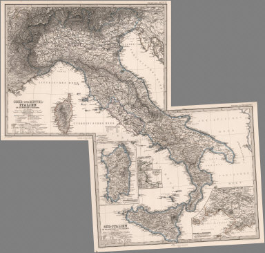
1866 Composite: Italien. (Italy). World Atlas (Composite of) Stieler's Hand-Atlas ... … |

1866 Ungarn, Siebenburgen, Woiwodina und Slav … World Atlas Stieler's Hand-Atlas ... No. 35b. Ungarn … |

1866 Europaeisches Russland auch Schweden u. … World Atlas Stieler's Hand-Atlas ... No. 37a. Europa … |

1866 Ost-Europa in 6 Blattern, Enthaltend. No … World Atlas Stieler's Hand-Atlas ... No. 37a. Ost-Eu … |

1866 Der Atlantische Ocean. (Atlantic). World Atlas Stieler's Hand-Atlas ... No. 41c. Der At … |

1866 Karte de Palestina. (Palestine). World Atlas Stieler's Hand-Atlas ... No. 42b. Karte … |

1866 China und Japan. (China and Japan). World Atlas Stieler's Hand-Atlas ... No. 43c. China … |

1866 West-Australien. Neu-Zeeland. Tasmania, … World Atlas Stieler's Hand-Atlas ... No. 50a. West-A … |

1866 Planiglob der Antipoden. (Antipodes). World Atlas Stieler's Hand-Atlas ... No. 8. Planiglo … |

1866 Sudwestliches Frankreich. (Southwest Fra … World Atlas Stieler's Hand-Atlas ... No. 14d. Sudwes … |