Browse All

1874 Arkansas, Indian Terr. National Atlas Asher & Adams' Arkansas and portion of I … |
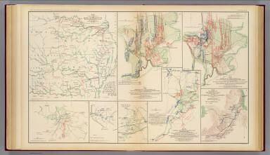
1895 Army of Missouri campaigns. Military Atlas Map of the fall campaigns of the Army of … |

1836 Map of the State of Missouri And Territo … Pocket Map Map of the state of Missouri and territo … |

1836 Cover: Map of the state of Missouri and … Pocket Map (Covers to) Map of the state of Missouri … |

1817 Arkansa Ter. World Atlas Arkansa Ter. Drawn and Published by F. L … |

1895 Gen. map XXIV. Military Atlas General topographical map. Sheet XXIV. J … |

1895 Gen. map XXV. Military Atlas General topographical map. Sheet XXV. Ju … |

1892 Post Route Map of the State of Texas Wall Map Post Route Map of the State of Texas wit … |

1827 Missouri and the Territory of Arkansas. National Atlas Map of the State of Missouri and the Ter … |

1891 (Missouri, Arkansas) Railroad Map of the … Case Map Rand, McNally & Co.'s New Shippers' Rail … |

1891 Covers: (Missouri, Arkansas) Railroad Ma … Case Map (Covers to) Rand, McNally & Co.'s New Sh … |

1909 Shippers' Railroad Map. Case Map The Rand McNally Shippers' Railroad Map … |

1852 Arkansas, Oklahoma, Texas. National Atlas (Arkansas, Oklahoma, Texas). |

1924 AutoTrails Map, Texas, Oklahoma, Louisia … National Atlas Commercial Atlas of America. Rand McNall … |

1823 Arkansas Ter. World Atlas Arkansas Ter. B.T. Welch & Co. Sc. Drawn … |