Browse All

1852 Brittischen Inseln. School Atlas Die Brittischen Inseln. England, Schottl … |

1852 Sheet 1: Plan of York, 1852 [City Atlas, Survey Map] Sheet 1: York. Surveyed in 1850, by Capt … |

1852 Sheet 2: Plan of York, 1852 [City Atlas, Survey Map] Sheet 2: York. Surveyed in 1850, by Capt … |

1852 Sheet 3: Plan of York, 1852 [Survey Map, City Atlas] Sheet 3: York. Surveyed in 1850, by Capt … |

1852 Sheet 4: Plan of York, 1852 [Survey Map, City Atlas] Sheet 4: York. Surveyed in 1850, by Capt … |

1852 Sheet 5: Plan of York, 1852 [Survey Map, City Atlas] Sheet 5: York. Surveyed in 1850, by Capt … |

1852 Sheet 6: Plan of York, 1852 [Survey Map, City Atlas] Sheet 6: York. Surveyed in 1850, by Capt … |

1852 Sheet 7: Plan of York, 1852 [City Atlas, Survey Map] Sheet 7: York. Surveyed in 1850, by Capt … |

1852 Sheet 8: Plan of York, 1852 [Survey Map, City Atlas] Sheet 8: York. Surveyed in 1850, by Capt … |

1852 Sheet 9: Plan of York, 1852 [City Atlas, Survey Map] Sheet 9: York. Surveyed in 1850, by Capt … |

1852 Sheet 10: Plan of York, 1852 [Survey Map, City Atlas] Sheet 10: York. Surveyed in 1850, by Cap … |

1852 Sheet 11: Plan of York, 1852 [City Atlas, Survey Map] Sheet 11: York. Surveyed in 1850, by Cap … |

1852 Sheet 12: Plan of York, 1852 [Survey Map, City Atlas] Sheet 12: York. Surveyed in 1850, by Cap … |

1852 Sheet 13: Plan of York, 1852 [City Atlas, Survey Map] Sheet 13: York. Surveyed in 1850, by Cap … |

1852 Sheet 14: Plan of York, 1852 [Survey Map, City Atlas] Sheet 14: York. Surveyed in 1850, by Cap … |

1852 Sheet 15: Plan of York, 1852 [Survey Map, City Atlas] Sheet 15: York. Surveyed in 1850, by Cap … |

1852 Sheet 16: Plan of York, 1852 [Survey Map, City Atlas] Sheet 16: York. Surveyed in 1850, by Cap … |

1852 Sheet 17: Plan of York, 1852 [Survey Map, City Atlas] Sheet 17: York. Surveyed in 1850, by Cap … |

1852 Sheet 18: Plan of York, 1852 [Survey Map, City Atlas] Sheet 18: York. Surveyed in 1850, by Cap … |

1852 Sheet 19: Plan of York, 1852 [Survey Map, City Atlas] Sheet 19: York. Surveyed in 1850, by Cap … |

1852 Sheet 20: Plan of York, 1852 [Survey Map, City Atlas] Sheet 20: York. Surveyed in 1850, by Cap … |

1852 Sheet 21: Plan of York, 1852 [City Atlas, Survey Map] Sheet 21: York. Surveyed in 1850, by Cap … |
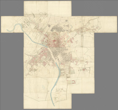
1852 Composite: Sheets 1 - 21, Plan of York, … [City Atlas, Survey Map] (Composite to) (Sheets 1 - 21) York. Sur … |

1852 The Mountains, Table Lands, Plains & Val … Physical Atlas The Mountains, Table Lands, Plains & Val … |

1852 72. Burton on Trent, Stafford, SE Quad. Geologic Atlas 72. Burton on Trent, Stafford, SE Quad. |

1852 77. Holyhead, N Quad. Geologic Atlas 77. Holyhead, N Quad. |

1852 78. Bangor, NE Quad. Geologic Atlas 78. Bangor, NE Quad. |

1852 78. N. Anglesey, Bangor, NW Quad. Geologic Atlas 78. N. Anglesey, Bangor, NW Quad. |

1852 78. Bangor, SE Quad. Geologic Atlas 78. Bangor, SE Quad. |

1852 78. Bangor, SW Quad. Geologic Atlas 78. Bangor, SW Quad. |

1852 Die Brittischen Inseln und Die Nord-See. … World Atlas No. XVII. Stieler's Hand-Atlas (No. 15a. … |

1852 England und Wales. (England and Wales). World Atlas No. XVIII. Stieler's Hand-Atlas (No. 15b … |

1852 Composite: England und Wales, Schotland, … World Atlas (Composite of) No. XVII, XIX, XX. Stiele … |