Browse All

1811 Carte Du Mexique et des Pays Limitrophes … National Atlas Carte Du Mexique et des Pays Limitrophes … |

1862 Covers: Colton's Railroad and Military M … Pocket Map (Covers to) Colton's Railroad And Milita … |
1862 Colton's Railroad and Military Map, Unit … Pocket Map Colton's Railroad And Military Map Of Th … |

1866 Covers: Map Of The United States Pocket Map (Covers to) Colton's Traveler's Map Of T … |

1866 Map Of The United States Pocket Map Colton's Traveler's Map Of The United St … |

1861 Covers: United States, Mexico, The West … Pocket Map (Covers to) Colton's Map Of The United S … |

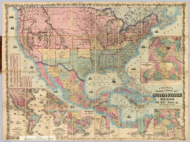
1861 United States, Mexico, The West Indies Pocket Map Colton's Map Of The United States, Mexic … |

1854 Map Of The United States of America, The … Pocket Map Map Of The United States of America, The … |

1833 North America, S.E. Sheet. World Atlas North America, S.E. Sheet. American Atla … |

1838 North America. National Atlas North America. Entered ... 1838, by T.G. … |

1854 Covers: Map Of The United States of Amer … Pocket Map (Covers to) Map Of The United States of … |

1861 Covers: United States Pocket Map (Covers to) Goldthwait's Map Of The Unit … |

1861 United States Pocket Map Goldthwait's Map Of The United States, B … |

1853 Covers: United States, Canada, Mexico, W … Pocket Map (Covers to) Map Of The United States, Ca … |

1853 United States, Canada, Mexico, West Indi … Pocket Map Map Of The United States, Canada, Mexico … |

1885 Covers: United States, British Provinces … Pocket Map (Covers to) Colton's Map Of The United S … |

1885 United States, British Provinces, Mexico … Pocket Map Colton's Map Of The United States Of Ame … |

1885 Composite: United States, British Provin … Pocket Map (Composite of) Colton's Map Of The Unite … |

1863 Etats-Unis & Mexique. World Atlas Etats-Unis & Mexique. |

1775 The Peninsula and Gulf of Florida or Cha … Regional Atlas The Peninsula and Gulf of Florida or Cha … |

1775 The Island of Cuba with part of the Baha … Regional Atlas The Island of Cuba with part of the Baha … |

1722 Mexique, Floride, Terres Angloises, Isle … World Atlas Carte du Mexique et de la Floride, des T … |

1804 Spanish dominions in North America. World Atlas Spanish dominions in North America. From … |

1812 Spanish dominions in North America. World Atlas Spanish Dominions in North America. From … |

1708 Mexique, Floride, Terres Angloises, Isle … World Atlas Carte du Mexique et de la Floride, des T … |

1856 Health, disease. Physical Atlas The geographical distribution of health … |

1879 West-Indien in 4 Blattern, Bl. 1 (West I … World Atlas Stieler's Hand-Atlas No. 79. West-Indien … |

1879 West-Indien in 4 Blattern, Bl. 2 (West I … World Atlas Stieler's Hand-Atlas No. 80. West-Indien … |

1879 Composite: West-Indien in 4 Blattern (We … World Atlas (Composite of) Stieler's Hand-Atlas No. … |

1529 Plate 13 Facsimile Cartography 1492-1867 … [Historical Atlas, National Atlas] Plate 13. Cartography 1492-1867. Verraza … |

1806 United States. West Indies. Separate Map A Map of the United States, Canada, New- … |

1859 Standard American Map. Wall Map Monk's Standard American Map Exhibiting … |

1851 Cover: United States, Canada, Mexico, Ce … Pocket Map (Covers to) Map Of The United States, Ca … |

1851 Map Of The United States, Canada, Mexico … Pocket Map Map Of The United States, Canada, Mexico … |

1852 United States, Mexico, Central America, … National Atlas (United States, Mexico, Central America, … |

1817 Cover: United States correct map. Case Map (Covers to) A Correct Map of the United … |

1817 A Correct Map of the United States. Case Map A Correct Map of the United States, With … |

1857 Cover: Monk's Central America, Cuba, Flo … Case Map (Covers to) Monk's new map of Central Am … |

1857 Monk's new map of Central America, Cuba, … Case Map Monk's new map of Central America, Yucat … |