Browse All

1947 The Pictorial Map, Stamps of the U.S.A. Separate Map The Pictorial Map, Stamps of the U.S.A. … |
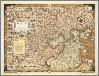
1938 Boston (Massachusetts) and Vicinity. A P … Separate Map Boston (Massachusetts) and Vicinity. A P … |

1939 World Wonders, A Pictorial Map. Separate Map World Wonders, A Pictorial Map. Designed … |

1939 Pictorial Map of the New England States … Separate Map A Pictorial Map of the New England State … |

1942 Covers: Total War, Battle Map. Separate Map (Covers to) Total War, Battle Map. Desig … |

1942 Text: In an All-Out Victory. Separate Map (Text Page) In an All-Out Victory. |

1942 Total War, Battle Map. Separate Map Total War, Battle Map. Designed and Draw … |

1939 World Wonders, A Pictorial Map. Separate Map World Wonders, A Pictorial Map. Designed … |

1935 A pictorial map of the British Isles Separate Map A pictorial map of the British Isles : B … |

1938 Europe : A pictorial map, by Ernest Dudl … Separate Map Europe : A pictorial map, by Ernest Dudl … |

1936 A pictorial map of Switzerland, by Ernes … Separate Map A pictorial map of Switzerland, by Ernes … |

1935 A pictorial map of Spain and Portugal, b … Separate Map A pictorial map of Spain and Portugal, b … |

1935 France as drawn by Ernest Dudley Chase Separate Map France as drawn by Ernest Dudley Chase o … |

1942 Total War, Battle Map. Separate Map Total War, Battle Map. Designed and Draw … |