Browse All
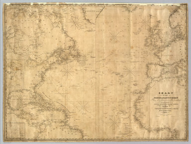
1835 North Atlantic Ocean. Chart Map Chart Of The North Atlantic Ocean, From … |

1828 The north eastern coast, North America, … Chart Atlas (The north eastern coast of North Americ … |

1828 The north eastern coast, North America, … Chart Atlas The north eastern coast of North America … |

1828 The north eastern coast, North America, … Chart Atlas (The north eastern coast of North Americ … |

1827 The harbour of New York, Entrance to Che … Chart Atlas The harbour of New York surveyed by Edmu … |

1827 The coast of the United States from New … Chart Atlas The coast of the United States of North … |

1827 The coast of the United States from New … Chart Atlas (The coast of the United States of North … |

1827 The coast of the United States from New … Chart Atlas (The coast of the United States of North … |

1827 (The Bahama Banks and Gulf of Florida. E … Chart Atlas (The Bahama Banks and Gulf of Florida by … |

1827 The Bahama Banks and Gulf of Florida (We … Chart Atlas The Bahama Banks and Gulf of Florida by … |

1827 Composite: Bahama Banks, Gulf of Florida … Chart Atlas (Composite of) The Bahama Banks and Gulf … |

1828 The coasts of West Florida, Alabama, Mis … Chart Atlas The coasts of West Florida, Alabama, Mis … |