Browse All

1820 Chart, extending from 40¦15' N. , 72¦15' … Chart Map To the Marine Society of the city of New … |

1820 Books, charts by E. Blunt or W. Hooker. Chart Map Books and charts published by Edmund Blu … |
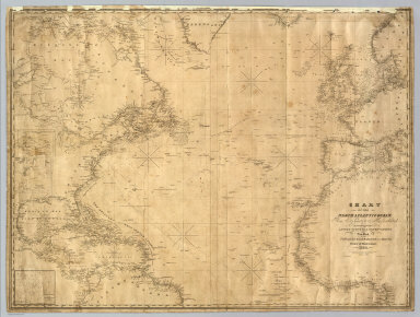
1835 North Atlantic Ocean. Chart Map Chart Of The North Atlantic Ocean, From … |

1827 The harbour of New York, Entrance to Che … Chart Atlas The harbour of New York surveyed by Edmu … |

1827 The coast of the United States from New … Chart Atlas The coast of the United States of North … |

1827 The coast of the United States from New … Chart Atlas (The coast of the United States of North … |

1827 The coast of the United States from New … Chart Atlas (The coast of the United States of North … |

1828 The coasts of West Florida, Alabama, Mis … Chart Atlas The coasts of West Florida, Alabama, Mis … |