Browse All

1824 Map of the United States of America. World Atlas Map of the United States of America. Des … |

1813 Map of the American Coast, from Lynhaven … National Atlas Map of the American Coast, from Lynhaven … |

1813 Map of the Seat of War in North America. National Atlas Map of the Seat of War in North America. … |

1813 View of the Country round the Falls of N … National Atlas View of the Country round the Falls of N … |

1813 East End of Lake Ontario. National Atlas East End of Lake Ontario. |

1813 Plan of Montreal, with a Map of the Isla … National Atlas Plan of Montreal, with a Map of the Isla … |

1813 Southern Section of the United States in … National Atlas Southern Section of the United States in … |
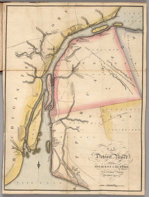
1813 Map of Detroit River and Adjacent Countr … National Atlas Map of Detroit River and Adjacent Countr … |

1813 Plan of Quebec and Adjacent Country. National Atlas Plan of Quebec and Adjacent Country Shew … |

1820 Elementary Map. School Atlas Elementary Map. Published 1st June 1816 … |

1820 Map of the World. School Atlas Map of the World from the latest discove … |

1820 The World On Mercator's Projection. School Atlas The World on Mercator's Projection; with … |

1820 America. School Atlas America. No. IV. (Published 1st June 181 … |

1820 Europe. School Atlas Europe. No. V. Published 1st June 1816 b … |

1820 Asia &c. School Atlas Asia &c. No. VII. (Published 1st June 18 … |

1820 Africa. School Atlas Africa. No. VI. (Published 1st June 1816 … |

1820 United States. School Atlas United States. No. VIII. Published 1st J … |

1815 Map of the Seat of War in North America. National Atlas Map of the Seat of War in North America. … |

1815 View of the Country round the Falls of N … National Atlas View of the Country round the Falls of N … |

1815 East End of Lake Ontario. National Atlas East End of Lake Ontario. |

1815 Plan of Montreal, with a Map of the Isla … National Atlas Plan of Montreal, with a Map of the Isla … |

1815 Southern Section of the United States in … National Atlas Southern Section of the United States in … |

1815 Map of the American Coast, from Lynhaven … National Atlas Map of the American Coast, from Lynhaven … |

1815 Map of Detroit River and Adjacent Countr … National Atlas Map of Detroit River and Adjacent Countr … |

1815 Plan of Quebec and Adjacent Country. National Atlas Plan of Quebec and Adjacent Country Shew … |

1815 East End of Lake Ontario and River St La … National Atlas East End of Lake Ontario and River St. L … |

1815 Map of the River St Lawrence and Adjacen … National Atlas Map of the River St. Lawrence and Adjace … |

1815 Map of the Seat of War among the Creek I … National Atlas Map of the Seat of War among the Creek I … |

1815 Map of New Orleans and Adjacent Country. National Atlas Map of New Orleans and Adjacent Country … |