Browse All

1878 (Map 3 - West Virginia, Ohio, Pennsylvan … Case Map (Map 3 - Virginia, West Virginia, Ohio, … |

1878 (Map 4 - Maine, New Hampshire, Vermont, … Case Map (Map 4 - Maine, New Hampshire, Vermont, … |

1891 Index map. City Atlas Index map showing the area covered by th … |

1891 New York City, County. City Atlas City and county of New York. Copyrighted … |

1891 Brooklyn, N.Y. Bay, Jersey City, Hoboken … City Atlas Brooklyn, New York Bay, Jersey City, Hob … |

1891 Narrows-Jamaica Bay, Brooklyn. City Atlas The Narrows to Jamaica Bay-Coney Island, … |

1891 Richmond Co., Staten Island. City Atlas Richmond County, Staten Island. Copyrigh … |

1891 Long I. Sound, Westchester, Queens. City Atlas Long Island Sound, Westchester north to … |

1891 Westchester Co., Yonkers-state line. City Atlas Westchester County, Yonkers to Dobbs Fer … |

1891 Westchester Co., Irvington-state line. City Atlas Westchester County, Irvington, Tarrytown … |

1891 Contents: Atlas Metropolitan District. City Atlas (Contents to) Atlas of the Metropolitan … |

1891 Westchester Co., Scarborough-Putnam Co. … City Atlas Westchester County, Scarborough to Putna … |

1891 Croton Lake vicinity. City Atlas Westchester County, vicinity of Croton L … |

1891 Westchester Co., Bedford-state line. City Atlas Westchester County, Bedford to state lin … |

1891 Cover: Atlas Metropolitan District. City Atlas (Covers to) Atlas of the Metropolitan Di … |
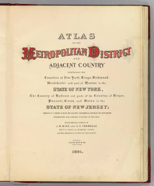
1891 Title Page: Atlas Metropolitan District. City Atlas (Title Page to) Atlas of the Metropolita … |

1888 6 Central red sandstone. State Atlas A topographical map of the valley of the … |

1888 7 NE red sandstone. State Atlas A topographical map of the counties of B … |

1888 9 Monmouth shore. State Atlas A topographical map of the Monmouth shor … |

1893 Westchester Co., Yonkers-state line. County Atlas Westchester County, Yonkers to Dobbs Fer … |