Browse All

1901 Index Map: Index to the Ordnance Survey … National Atlas (Index Map) Index to the Ordnance Survey … |

1901 Sheet 1 and 2. National Atlas Sheet 1 and 2. |

1901 Sheet 3. National Atlas Sheet 3. |

1901 Sheet 4. National Atlas Sheet 4. |

1901 Sheet 5 and 6. National Atlas Sheet 5 and 6. |

1901 Sheet 7. National Atlas Sheet 7. |

1901 Sheet 8. National Atlas Sheet 8. |

1901 Sheet 9 and 10. National Atlas Sheet 9 and 10. |

1901 Sheet 11. National Atlas Sheet 11. |

1901 Sheet 12. National Atlas Sheet 12. |

1901 Sheet 14. National Atlas Sheet 14. |

1901 Sheet 15. National Atlas Sheet 15. |

1901 Sheet 16. National Atlas Sheet 16. |

1901 Sheet 17. National Atlas Sheet 17. |

1901 Sheet 18. National Atlas Sheet 18. |

1901 Sheet 19. National Atlas Sheet 19. |

1901 Sheet 20 and 24. National Atlas Sheet 20 and 24. |

1901 Sheet 21 and 25. National Atlas Sheet 21 and 25. |

1901 Sheet 22. National Atlas Sheet 22. |

1901 Sheet 23. National Atlas Sheet 23 |

1901 Stanford's Useful Maps, England, Outline … National Atlas Stanford's Useful Maps, England, Outline … |

1925 Conventional Sign and Writing (Popular E … National Atlas Ordnance Survey. Conventional Signs and … |
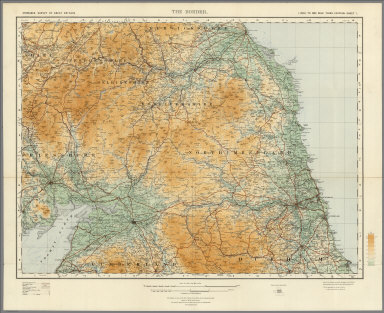
1921 Sheet 1. The Border. National Atlas Sheet 1. The Border. |

1921 Sheet 2. England North West. National Atlas Sheet 2. England North West. |

1924 Sheet 3. England North East. National Atlas Sheet 3. England North East. |

1923 Sheet 5. Midlands (N). National Atlas Sheet 5. Midlands (N). |

1920 Sheet 6. Eastern Counties (N). National Atlas Sheet 6. Eastern Counties (N). |

1924 Sheet 8. Midlands (S). National Atlas Sheet 8. Midlands (S). |

1921 Sheet 9. Eastern Counties (S). National Atlas Sheet 9. Eastern Counties (S). |

1924 Sheet 10. South-West England. National Atlas Sheet 10. South-West England. |

1924 Sheet 11. England South. National Atlas Sheet 11. England South. |

1922 Sheet 12. England South-East & London. National Atlas Sheet 12. England South-East & London. |

1901 Covers: Ordnance Survey Revised Map of E … National Atlas (Covers to) Ordnance Survey Revised Map … |