Who What Where WhenREMOVE |
REFINE
Browse All : Wall Map by Walling, H. F.
1-4 of 4
Author
Walling, H. F.
Full Title
Map Of The City Of Portland Cumberland County Maine. From Original Surveys. Henry F. Walling Civil Engineer. 1851.
Publisher
No Publisher
Author
Walling, H. F.
Full Title
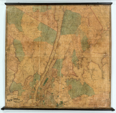
Map of the City of New-York and Its Vicinity From Actual Surveys Made Under the Direction of H.F. Walling. Published by S.D. Tilden, 36 Dey St., New York, 1863.
Publisher
S.D. Tilden
Author
Walling, H. F.
Full Title
Map of the Town of Middleborough, Plymouth County, Mass. Surveyed by order of the Town by H.F. Walling. Superintendent of the State Map. 1855. Ferd. Mayer & Co. Lith. 96 Fulton St. N.Y. (inset) Namasket Village. Four Corners.
Publisher
Ferd. Mayer & Co. Lithographers
Author
Walling, H. F.
Full Title
Map Of The State Of Vermont From Surveys Under The Direction Of H.F. Walling 1860. Drawn, Engraved, Printed, Colored and Mounted at H.F. Walling's Map Establishment, Nos. 356, 358 & 360 Pearl Street, New York. (inset) Geological Map Of The State Of Vermont. Compiled by Albert D. Hager. 1859. (with 43 additional inset maps).
Publisher
H.F. Walling's Map Establishment
1-4 of 4
|