Search Results:

1899 West Farmington Village. Deforest P.O., … County Atlas West Farmington Village. Deforest P.O. |

1899 Plats East of Vienna Center. Map of Leav … County Atlas Plats East of Vienna Center. Map of Leav … |

1899 Brookfield Center. (Other areas in Trumb … County Atlas Map of Brookfield Center. (Other areas i … |

1899 Orangeville Village. Hartford Centre. Vi … County Atlas Map of Orangeville Village. Map of Hartf … |
1899 North Bloomfield P.O. Farmington P.O. Lo … County Atlas Map of North Bloomfield P.O. Farmington … |

1899 West Metts. Mesopotamia. Bristolvill. Bo … County Atlas Map of West Metts P.O. Mesopotamia P.O. … |

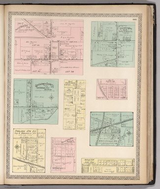
1899 Church Hill. Ohlton, Meander. Coalburg. … County Atlas Map of Church Hill P.O. Map of Ohlton, M … |

1899 Text: Public Lands of Ohio. County Atlas (Text Page) Public Lands of Ohio. |

1899 Alaska. County Atlas Alaska (insets) Cook Inlet and Vicinity. … |

1899 South Part of the City of Warren, Ohio. County Atlas Map of South Part of the City of Warren. |

1899 Composite Map: Warren, Ohio. County Atlas (Composite Map) Warren. |

1899 East Part of the City of Niles, Ohio. County Atlas Map of East Part of the City of Niles. |

1899 Composite Map: Niles, Ohio. County Atlas (Composite Map) City of Niles. |

1899 Hubbard Village, Ohio. County Atlas Map of Hubbard Village. |