Who What Where WhenREMOVE |
REFINE
Search Results:
1-22 of 22
Author
Cram, George Franklin
Full Title
Western Half of Virginia and West Virginia, Engraved Expressly for the Standard Atlas of the World.
Publisher
George F. Cram
Author
Cram, George Franklin
Full Title
Eastern Half of Virginia and West Virginia, Engraved Expressly for the Standard Atlas of the World.
Publisher
George F. Cram
Author
Cram, George Franklin
Full Title
(Composite of) Virginia and West Virginia.
Publisher
George F. Cram
Author
Cram, George Franklin
Full Title
A Railroad and County Map, Virginia, W. Virginia.
Publisher
George F. Cram
Author
Rand McNally and Company
Full Title
(Covers to) Rand McNally & Co.'s New Map Of West Virginia. Rand, McNally & Co., Map Publishers and Engravers, Chicago, 1890. Copyright, 1888, by Rand, McNally & Co. ... (inset) Northern Portion Of West Virginia. (above the neat line) Rand McNally & Co.'s West Virginia. (with 34 page index) Rand McNally & Co.'s Indexed County And Railroad Pocket Map And Shippers' Guide Of West Virginia ... Chicago And New York: Rand, McNally & Co. ... (on verso) Entered ... 1890, by Rand, McNally & Co ... Washington.
Publisher
Rand McNally & o.
Author
Rand McNally and Company
Full Title
(Title Page to) Rand McNally & Co.'s New Map Of West Virginia. Rand, McNally & Co., Map Publishers and Engravers, Chicago, 1890. Copyright, 1888, by Rand, McNally & Co. ... (inset) Northern Portion Of West Virginia. (above the neat line) Rand McNally & Co.'s West Virginia. (with 34 page index) Rand McNally & Co.'s Indexed County And Railroad Pocket Map And Shippers' Guide Of West Virginia ... Chicago And New York: Rand, McNally & Co. ... (on verso) Entered ... 1890, by Rand, McNally & Co ... Washington.
Publisher
Rand McNally & o.
Author
Rand McNally and Company
Full Title
Rand McNally & Co.'s New Map Of West Virginia. Rand, McNally & Co., Map Publishers and Engravers, Chicago, 1890. Copyright, 1888, by Rand, McNally & Co. ... (inset) Northern Portion Of West Virginia. (above the neat line) Rand McNally & Co.'s West Virginia. (with 34 page index) Rand McNally & Co.'s Indexed County And Railroad Pocket Map And Shippers' Guide Of West Virginia ... Chicago And New York: Rand, McNally & Co. ... (on verso) Entered ... 1890, by Rand, McNally & Co ... Washington.
Publisher
Rand McNally & o.
Author
Cram, George Franklin
Full Title
Western Half of Virginia and West Virginia.
Publisher
George F. Cram
Author
Cram, George Franklin
Full Title
Eastern Half of Virginia and West Virginia.
Publisher
George F. Cram
Author
Cram, George Franklin
Full Title
(Composite of) Virginia and West Virginia.
Publisher
George F. Cram
Author
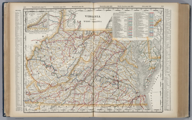
Cram, George Franklin
Full Title
Virginia and West Virginia.
Publisher
George F. Cram
Author
Cram, George Franklin
Full Title
(Covers to) Cram's Railroad & County Map Of Virginia, W. Virginia, Maryland & Delaware. Published By Geo. F. Cram. Proprietor Of The Western Map Depot. 262-264 Wabash, Ave. Chicago, Ills. 1881. Entered ... 1878, by G.F. Cram... Washington D.C.
Publisher
George F. Cram
Author
Cram, George Franklin
Full Title
Cram's Railroad & County Map Of Virginia, W. Virginia, Maryland & Delaware. Published By Geo. F. Cram. Proprietor Of The Western Map Depot. 262-264 Wabash, Ave. Chicago, Ills. 1881. Entered ... 1878, by G.F. Cram... Washington D.C.
Publisher
George F. Cram
Author
Cram, George Franklin
Full Title
Cram's Rail Road & Township Map of Virginia & W.V. Published by Geo. F. Cram. Proprietor of the Western Map Depot. 66, Lake St. Chicago Ills. 1875.
Publisher
Cram Atlas Company
Author
Leahy, J.F.
Full Title
(Index to) Leahy's Hotel Guide and Railway Distance Maps. West Virginia.
Publisher
American Hotel register Co.
Author
Leahy, J.F.
Full Title
Leahy's Hotel Guide and Railway Distance Map of the State of West Virginia. Published by American Hotel Register Company. Leahy Build., 228-234 W. Ontario St., Chicago, Ill. Copyrighted by J.F. Leahy, Jan., 1934.
Publisher
American Hotel register Co.
Author
Colton, G.W. & C.B.
Full Title
(Covers to) Colton's Railroad & Commercial Atlas Of The United States, Canada Etc. Map No. 6. Delaware, Maryland, Virginia, West Virginia, N. Carolina, Kentucky & Tennessee. Published by G.W. And C.B. Colton, & Co. 172 William St. New York. 1870. Entered ... 1866, by G.W. & C.B. Colton & Co ... N.Y.
Publisher
G.W. & C.B. Colton
Author
Colton, G.W. & C.B.
Full Title
Colton's Railroad & Commercial Atlas Of The United States, Canada Etc. Map No. 6. Delaware, Maryland, Virginia, West Virginia, N. Carolina, Kentucky & Tennessee. Published by G.W. And C.B. Colton, & Co. 172 William St. New York. 1870. Entered ... 1866, by G.W. & C.B. Colton & Co ... N.Y.
Publisher
G.W. & C.B. Colton
Author
Cram, George Franklin
Full Title
New Rail Road and County Map of Deleware (Delaware), Maryland, Virginia & West Virginia.
Publisher
A.C. Shewey and Co.
Author
Cram, George Franklin
Full Title
Cram's Rail Road & County Map of Virginia & W. Va.
Publisher
George F. Cram
Author
Rand McNally and Company
Full Title
Commercial Atlas of America. Rand McNally Black and White Map of Virginia and West Virginia.
Publisher
Rand McNally and Company
1-22 of 22
|