Search Results:

1829 Ontario, Yates counties. State Atlas Map of the counties of Ontario & Yates. … |

1829 Wayne County. State Atlas Map of the County of Wayne. By David H. … |

1829 Livingston County. State Atlas Map of the County of Livingston. By Davi … |

1829 Monroe County. State Atlas Map of the County of Monroe. By David H. … |

1829 Orleans County. State Atlas Map of the County of Orleans. By David H … |
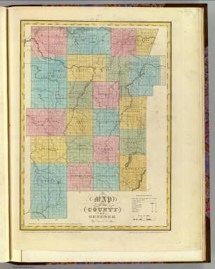
1829 Genesee County. State Atlas Map of the County of Genesee. By David H … |

1829 Allegany County. State Atlas Map of the County of Allegany. By David … |

1829 Niagara County. State Atlas Map of the County of Niagara. By David H … |

1829 Erie County. State Atlas Map of the County of Erie. By David H. B … |

1829 Cattaraugus County. State Atlas Map of the County of Cattaraugus. By Dav … |

1829 Chautauque County. State Atlas Map of the County of Chautauque (sic). B … |

1832 New-York State, surrounding country. State Atlas Map of the State of New-York and the sur … |

1832 New York City & County. State Atlas Map of the City and County of New York w … |