Search Results:

1808 England and Wales. World Atlas England and Wales. |

1817 United Kingdoms of Great Britain and Ire … World Atlas United Kingdoms of Great Britain and Ire … |

1817 England and Wales. World Atlas England and Wales. |

1815 Index Sheet 1 Case Map Index Sheet 1 |

1815 Index Sheet 2 Case Map Index Sheet 2 |

1815 Covers: Map Sheet 1 Case Map Covers: Map Sheet 1 |

1815 Map Sheet 1 Case Map Map Sheet 1 |

1815 Covers: Map Sheet 4 Case Map Covers: Map Sheet 4 |

1815 Map Sheet 4 Case Map Map Sheet 4 |

1815 Covers: Map Sheet 6 Case Map Covers: Map Sheet 6 |

1815 Map Sheet 6 Case Map Map Sheet 6 |

1815 Covers: Map Sheet 7 Case Map Covers: Map Sheet 7 |

1815 Map Sheet 7 Case Map Map Sheet 7 |

1815 Covers: Map Sheet 8 Case Map Covers: Map Sheet 8 |

1815 Map Sheet 8 Case Map Map Sheet 8 |

1815 Covers: Map Sheet 10 Case Map Covers: Map Sheet 10 |

1815 Map Sheet 10 Case Map Map Sheet 10 |

1815 Covers: Map Sheet 11 Case Map Covers: Map Sheet 11 |

1815 Map Sheet 11 Case Map Map Sheet 11 |

1815 Covers: Map Sheet 12 Case Map Covers: Map Sheet 12 |

1815 Map Sheet 12 Case Map Map Sheet 12 |

1815 Covers: Map Sheet 13 Case Map Covers: Map Sheet 13 |

1815 Map Sheet 13 Case Map Map Sheet 13 |

1815 Covers: Map Sheet 14 Case Map Covers: Map Sheet 14 |

1815 Map Sheet 14 Case Map Map Sheet 14 |

1815 Covers: Map Sheet 15 Case Map Covers: Map Sheet 15 |

1815 Map Sheet 15 Case Map Map Sheet 15 |

1815 Covers: Map Sheet 16 Case Map Covers: Map Sheet 16 |

1815 Map Sheet 16 Case Map Map Sheet 16 |

1815 Composite: Sheets 1 - 16 Case Map Composite: Sheets 1 - 16 |

1808 Britain, or the United Kingdom of Englan … World Atlas Britain, or the United Kingdom of Englan … |

1808 England and Wales. World Atlas England and Wales. |

1794 A New Map of Great Britain and Ireland. World Atlas A New Map of Great Britain and Ireland. |

1805 England and Wales. World Atlas England and Wales. |

1801 Dioceses of England. World Atlas The Dioceses of England with their Alter … |

1819 Succession of Bishops with the alteratio … World Atlas Succession of Bishops with the alteratio … |

1800 Britannia Romana. World Atlas Britannia Romana. |

1819 Saxon England. World Atlas Saxon England. |

1823 Die Brittischen Inseln. (British Isles). World Atlas No. XVII. Stielers Hand-Atlas (No. 15). … |
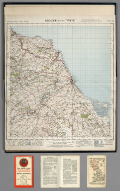
1947 Sheet 64. Berwick-upon-Tweed. National Atlas Sheet 64. Berwick-upon-Tweed. |

1947 Sheet 71. Alnwick. National Atlas Sheet 71. Alnwick. |

1947 Sheet 75. Dumfries. National Atlas Sheet 75. Dumfries. |

1947 Sheet 76. Carlisle. National Atlas Sheet 76. Carlisle. |

1947 Sheet 77. Hexham. National Atlas Sheet 77. Hexham. |
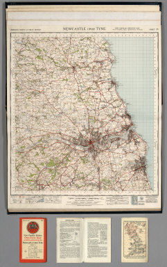
1947 Sheet 78. Newcastle upon Tyne. National Atlas Sheet 78. Newcastle upon Tyne. |

1947 Sheet 82. Keswick. National Atlas Sheet 82. Keswick. |

1947 Sheet 83. Penrith. National Atlas Sheet 83. Penrith. |

1947 Sheet 84. Teesdale. National Atlas Sheet 84. Teesdale. |

1947 Sheet 85. Durham. National Atlas Sheet 85. Durham. |

1947 Sheet 86. Redcar and Whitby. National Atlas Sheet 86. Redcar and Whitby. |