Browse All

1862 Map Of The Field Of Shiloh, Near Pittsbu … Separate Map Map Of The Field Of Shiloh, Near Pittsbu … |

1864 Map illustrating the Siege of Atlanta, G … Separate Map Map illustrating the Siege of Atlanta, G … |

1864 Hughes Military Map Of Richmond & Peters … Separate Map Hughes Military Map Of Richmond & Peters … |

1861 Map of the Atlantic States, Showing Dist … Separate Map Map of the Atlantic States, Showing Dist … |

1862 War Telegram Marking Map. Separate Map War Telegram Marking Map. L. Prang & Co. … |

1861 Union Military Chart. Separate Map Union Military Chart. Complete Map Of Th … |

1862 Official Plan of The Siege Of Yorktown V … Separate Map Official Plan of The Siege Of Yorktown V … |

1862 White House To Harrisons Landing. Separate Map Campaign Map, Army Of The Potomac. Map N … |

1862 Williamsburg To White House. Separate Map Campaign Map, Army Of The Potomac. Map N … |

1862 Yorktown To Williamsburg. Separate Map Campaign Maps, Army Of The Potomac. Map … |

1847 Map Of The Valley Of Mexico and the Surr … Separate Map Map Of The Valley Of Mexico and the Surr … |

1865 Military map showing the marches of the … Separate Map Military map showing the marches of the … |
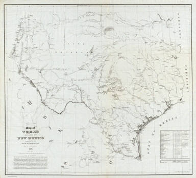
1857 Map of Texas and part of New Mexico. Separate Map Map of Texas and part of New Mexico comp … |

1861 Text Page: Map of the Southern States. Separate Map (Text Page to) Map Of The Southern State … |

1864 Panorama of the Seat of War View Panorama of the Seat of War. Birds Eye V … |

1863 Gettysburg Battle-Field View Gettysburg Battle-Field. Published By Jn … |

1862 Title Page: Map of Part of Henrico Count … Separate Map (Title Page to) Part of Henrico County V … |

1945 Your Dated War Map. Dated Events War Map … Separate Map Your Dated War Map. Dated Events War Map … |

1862 Cover: Part of Rappahannock River. Separate Map (Cover to) Part of the North Bank of the … |

1862 Cover: Country between Monterey, Tenn. & … Separate Map (Cover to) Map Of The Country Between Mo … |