Who What Where WhenREMOVEWHEREShow MoreWHO
WHEN |
REFINE
Browse All : Separate Map from 1940
1-14 of 14
Author
Sanborn Map Company.
Full Title
Golden Gate International Exposition (1939 World's Fair). Treasure Island. San Francisco, Calif. Scale 1" = 100'. Made by Sanborn Map Company. San Francisco, Calif. ... June 1938 ... Copyright 1938 by the Sanborn Map Co. Corrected May 1940. (inset) (Vicinity map of Treasure Island). Includes diagram of water system valve control assembly by the main gate.
Publisher
Sanborn Map Company.
Author
Covarrubias, Miguel (1904-1957)
Full Title
Plate I. Peoples of the World. Pageant of the Pacific.
Publisher
Pacific House
Author
Covarrubias, Miguel (1904-1957)
Full Title
Plate II. The Fauna and Flora of the Pacific. Pageant of the Pacific.
Publisher
Pacific House
Author
Covarrubias, Miguel (1904-1957)
Full Title
Plate III. Art Forms of the Pacific Area. Pageant of the Pacific.
Publisher
Pacific House
Author
Covarrubias, Miguel (1904-1957)
Full Title
Plate IV. Economy of the Pacific. Pageant of the Pacific.
Publisher
Pacific House
Author
Covarrubias, Miguel (1904-1957)
Full Title
Plate V. Native Dwellings of the Pacific Area. Pageant of the Pacific.
Publisher
Pacific House
Author
Covarrubias, Miguel (1904-1957)
Full Title
Plate VI. Native Means of Transportation in the Pacific Area. Pageant of the Pacific.
Publisher
Pacific House
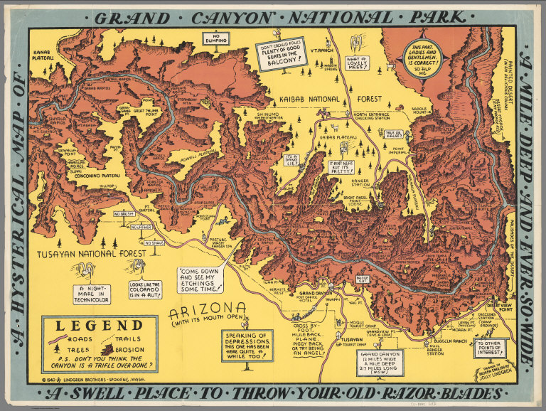
Author
Lindgren Brothers
Full Title
A Hysterical Map of the Grand Canyon National Park.
Publisher
Lindgren Brothers
Author
[Lindgren Brothers, Lindgren, Jolly]
Full Title
A Hysterical Map of the Grand Coulee Dam.
Publisher
Lindgren Brothers
Author
[International Tea Market Expansion Board Limited, Gill, Leslie MacDonald, 1884-1947]
Full Title
Tea. Revives. The. World. MacDonald Gill 1940. Issued by the International Tea Market Expansion Board Limited. Printed in England. S.H.B. Ltd. Regd. No. 4950.
Publisher
International Tea Market Expansion Board Limited
Author
Colonial Craftsmen
Full Title
Decorative Map of Cape Cod. The Reaches of Cape Cod, Nantucket, and Martha's Vineyard, Massachusetts. Copyrighted 1940 ... Colonial Craftsmen, P.O.912, Attleboro, Massachusetts.
Publisher
Colonial Craftsmen
Author
Covarrubias, Miguel (1904-1957)
Full Title
(Covers to) Pageant of the Pacific.
Publisher
Pacific House
Author
Covarrubias, Miguel (1904-1957)
Full Title
(Composite Text) Pageant of the Pacific.
Publisher
Pacific House
Author
Chase, Ernest Dudley, 1878-1966
Full Title
The pictorial map : United States Stamps. Designed, drawn and published by Ernest Dudley Chase. Winchester, Mass.; Research directors Charles Peck Kerr and Rupert Frank Jones. The post : Artists: Famous American Commemorative Series -- 1940.
Publisher
Ernest Dudley Chase.
1-14 of 14
|