Who What Where WhenREMOVE |
Full Title
Prominent real estate brokers and agents doing business in the City of New York. Prominent institutions in Westchester County. (From actual surveys and official records by G.W. Bromley & Co., Civil Engineers. Published by Geo. W. & Walter S. Bromley, 1881)
Publisher
G.W. & W.S. Bromley
Author
[Isaacs, John D., Bascom]
Full Title
(Text Page) The excellent photographs were taken by Utility Squadron Two from Moffett Field, California.
Publisher
Department of Engineering, University of California
Author
[Isaacs, John D., Bascom]
Full Title
(Text Page) Introductory Page.
Publisher
Department of Engineering, University of California
Author
[Isaacs, John D., Bascom]
Full Title
(Text Page) Grays Harbor, Washington. (No photo available).
Publisher
Department of Engineering, University of California
Author
Lyon, Lucius, 1800-1851
Full Title
(Text Page to) (Michigan and Indiana Border Survey 1828-1835. Manuscript survey maps and notes)
Publisher
Manuscript
Author
United States Army Service Forces
Full Title
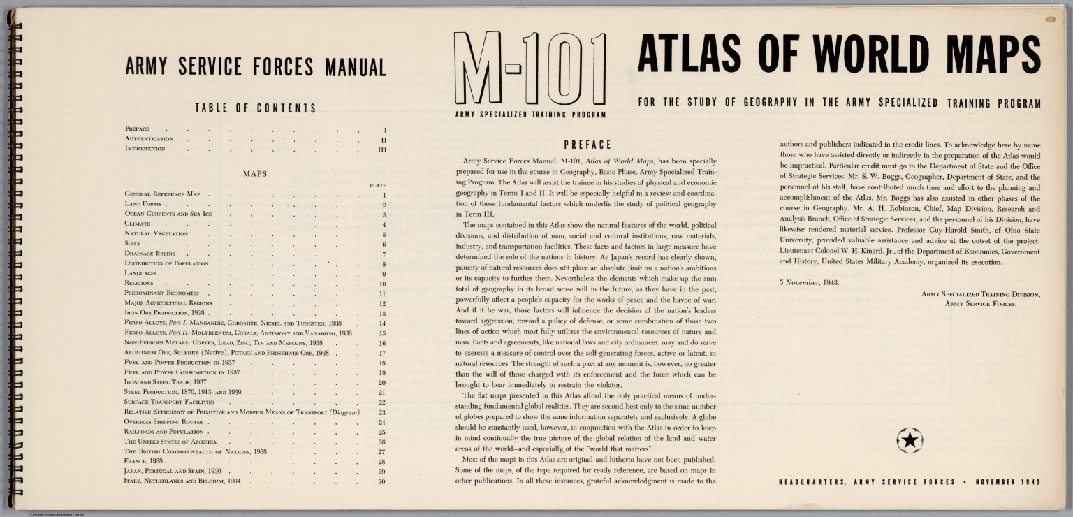
(Title Page) Atlas of World Maps for the Study of Geography in the Army Specialized Training Program. Army Services Forces Manual. M-101. Headquarters, Army Service Forces. November, 1943. (Index Page) Table of Contents. (Text Page) Preface.
Publisher
United States Army Service Forces
Author
United States Army Service Forces
Full Title
(Text Page) Numbering System of Army Service Forces Manuals.
Publisher
United States Army Service Forces
Author
United States Army Service Forces
Full Title
(Text Page) (Explanatory Text for Maps). Introduction. The Map Bases. 1. General Reference Map. 2. Land Forms. 3. Ocean Currents and Sea Ice.
Publisher
United States Army Service Forces
Author
United States Army Service Forces
Full Title
(Text Page) (Explanatory Text for Maps - continued). 4. Climate. 5. Natural Vegetation. 6. Soils. 7. Drainage Basins.
Publisher
United States Army Service Forces
Author
United States Army Service Forces
Full Title
(Text Page) (Explanatory Text for Maps - continued). 8. Distribution of Population. 9. Languages.
Publisher
United States Army Service Forces
Author
United States Army Service Forces
Full Title
(Text Page) (Explanatory Text for Maps - continued). 10. Religions. 11. Predominant Economies.
Publisher
United States Army Service Forces
Author
United States Army Service Forces
Full Title
(Text Page) (Explanatory Text for Maps - continued). 12. Major Agricultural Regions. 13. Iron Ore Production, 1938. 14. Ferro-Alloys, Part I: Managanese, Chromite, Nickel and Tungsten, 1938.
Publisher
United States Army Service Forces
Author
United States Army Service Forces
Full Title
(Text Page) (Explanatory Text for Maps - continued). 15. Ferro-Alloys, Part II: Molybdenum, Cobalt, Antimony and Vanadium, 1938. 16. Non-Ferrous Metals: Copper, Lead, Zinc, Tin and Mercury, 1938. 17. Aluminum Ore, Sulphur (Native), Potash and Phosphate Ore, 1938.
Publisher
United States Army Service Forces
Author
United States Army Service Forces
Full Title
(Text Page) (Explanatory Text for Maps - continued). 18. Fuel and Power Production in 1937.
Publisher
United States Army Service Forces
Author
United States Army Service Forces
Full Title
(Text Page) (Explanatory Text for Maps - continued). 21. Steel Production, 1870, 1913 and 1939. 22. Surface Transport Facilities. 23. Relative Efficiency of Primitive and Modern Means of Transport.
Publisher
United States Army Service Forces
Author
United States Army Service Forces
Full Title
(Text Page) (Explanatory Text for Maps - continued). 24. Overseas Shipping Routes. 25. Railroads and Population.
Publisher
United States Army Service Forces
Author
United States Army Service Forces
Full Title
(Text Page) (Explanatory Text for Maps - continued). 26-30. Countries with Overseas Possessions. 26. United States. 27. British Commonwealth of Nations. 28. France. 29. Japan, Portugal and Spain.
Publisher
United States Army Service Forces
Author
United States Army Service Forces
Full Title
(Text Page) (Explanatory Text for Maps - continued). 30. Italy, Switzerland and Belgium.
Publisher
United States Army Service Forces
Author
Pacific Coast Steamship Co.
Full Title
(Text Page to) Pacific Coast Steamship Co. February to May 1896, Inc. ... Goodall Perkins & Co. General Agents, 10 Market Street, San Francisco, Cal. Ticket Office 4 New Montgomery St. Palace Hotel, San Francisco, Cal.
Publisher
Rand McNally
Author
Southern Pacific Company
Full Title
(Text Page to) "Sunset Route" The Southern Pacific Company Atlantic System. West. Poole Bros. Printers and Engravers, Chicago. (1884)
Publisher
Poole Brothers.
Author
Stieler, Adolf
Full Title
(Text Page) Bericht zu Stieler's Hand-Atlas nebst ausfuhrlichen Erlanterungen einzelner Karten. Des Berichts Funfte Auflage. Vorwort zur ersten Auflage. (Report to Stieler's Hand-Atlas, with elucidations of individual maps. Fifth edition of the report. Preface to the First Edition.)
Publisher
Justus Perthes
Author
[Northern Pacific Railroad Company, Rand McNally and Company]
Full Title
(Text Page to) Black Hills, Montana, Upper Missouri and Yellowstone Rivers, Northern Dakota and Minnesota, the Northern Pacific Rail Road in connection with the Northwestern Express, Stage & Transp'n Co. ... During season of navigation of 1879 ... July, 1879. Rand, McNally & Co., Printers, 77 and 79 Madison Street, Chicago.
Publisher
Rand McNally
Author
Stieler, Adolf
Full Title
(Text Page) Bericht zu Stieler's Hand-Atlas.
Publisher
Justus Perthes
Author
Stieler, Adolf
Full Title
(Text Page) Bericht zu Stieler's Hand-Atlas.
Publisher
Justus Perthes
Author
Stieler, Adolf
Full Title
(Text Page) (Description of Maps 1-7) Bericht uber die Einzelnin Zu Sammtlichen Ausgaben Gehorigen Altern und Neuern Blatter von Stieler's Hand-Atlas.
Publisher
Justus Perthes
Author
Stieler, Adolf
Full Title
(Text Page) (Description of Maps 8-14a) Stieler's Hand-Atlas.
Publisher
Justus Perthes
Author
Stieler, Adolf
Full Title
(Text Page) (Description of Maps 14a-18) Stieler's Hand-Atlas.
Publisher
Justus Perthes
Author
Stieler, Adolf
Full Title
(Text Page) (Description of Maps 18-32) Stieler's Hand-Atlas.
Publisher
Justus Perthes
Author
Stieler, Adolf
Full Title
(Text Page) (Description of Maps 32-34b) Stieler's Hand-Atlas.
Publisher
Justus Perthes
Author
Stieler, Adolf
Full Title
(Text Page) (Description of Maps 34b-38a) Stieler's Hand-Atlas.
Publisher
Justus Perthes
Author
Stieler, Adolf
Full Title
(Text Page) (Description of Maps 38a-40) Stieler's Hand-Atlas.
Publisher
Justus Perthes
Author
Stieler, Adolf
Full Title
(Text Page) (Description of Maps 41a-43b) Stieler's Hand-Atlas.
Publisher
Justus Perthes
Author
Stieler, Adolf
Full Title
(Text Page) (Description of Maps 43b-44c) Stieler's Hand-Atlas.
Publisher
Justus Perthes
Author
Stieler, Adolf
Full Title
(Text Page) (Description of Maps 44c-45c) Stieler's Hand-Atlas.
Publisher
Justus Perthes
Author
Stieler, Adolf
Full Title
(Text Page) (Description of Maps 45c-46b) Stieler's Hand-Atlas.
Publisher
Justus Perthes
Author
Stieler, Adolf
Full Title
(Text Page) (Description of Maps 46b-52) Stieler's Hand-Atlas.
Publisher
Justus Perthes
Author
Stieler, Adolf
Full Title
(Text Page) (Description of Map 52) Stieler's Hand-Atlas. Beilage A. (Zur Karte No. 2 u. 3.) Die Sichtbare Seite der Mondoberflache. (Supplement A. (To Map No. 2 and 3) The visible side of the moon surface).
Publisher
Justus Perthes
Author
Stieler, Adolf
Full Title
(Text Page) Zum Planeten - System No. 4. Beilage B. (Zur Karte No.4.) Das Planeten-System.
Publisher
Justus Perthes
Author
Stieler, Adolf
Full Title
(Text Page) Zum Planeten - System No. 4. Beilage B. (Zur Karte No.4.) Das Planeten-System. Beilage C. Zu No. 5a und 5b.) Der Nordliche und Sudliche Gestirnte Himmel.
Publisher
Justus Perthes
Author
Stieler, Adolf
Full Title
(Text Page) Beilage C. Zu No. 5a und 5b. Der Nordliche und Sudliche Gestirnte Himmel. Beilage D. (Zur Karte No. 10.) Die Berkannteren Hohen Uber Der Meeresflache in Transparenten Profilen etc. (Mountain Profiles),
Publisher
Justus Perthes
Author
Stieler, Adolf
Full Title
(Text Page) Beilage D. (Zur Karte No. 10.) Die Berkannteren Hohen Uber Der Meeresflache in Transparenten Profilen etc. (Mountain Profiles),
Publisher
Justus Perthes
Author
Stieler, Adolf
Full Title
(Text Page) Beilage D. (Zur Karte No. 10.) Die Berkannteren Hohen Uber Der Meeresflache in Transparenten Profilen etc. (Mountain Profiles),
Publisher
Justus Perthes
Author
Stieler, Adolf
Full Title
(Text Page) Beilage D. (Zur Karte No. 10.) Die Berkannteren Hohen Uber Der Meeresflache in Transparenten Profilen etc. (Mountain Profiles). Beilage E. Zu No. 13a. Spanien und Portugal. Neue Bearbeitung 1834 - 1837.
Publisher
Justus Perthes
Author
Stieler, Adolf
Full Title
(Text Page) Beilage E. Zu No. 13a. Spanien und Portugal. Neue Bearbeitung 1834 - 1837. Beilage F. Zu No 14b,c,d. Systematishes Verzeichniss der vorzuglichsten Gebirge und Berge Frankreichs.
Publisher
Justus Perthes
Author
Stieler, Adolf
Full Title
(Text Page) Beilage F. Zu No 14b,c,d. Systematishes Verzeichniss der vorzuglichsten Gebirge und Berge Frankreichs.
Publisher
Justus Perthes
Author
Stieler, Adolf
Full Title
(Text Page) Beilage F. Zu No 14b,c,d. Systematishes Verzeichniss der vorzuglichsten Gebirge und Berge Frankreichs. Beilage G. Zu No. 35b und 35a. Erlauterungen zur Karte von Ungarn und Siebenburgen.
Publisher
Justus Perthes
Author
Stieler, Adolf
Full Title
(Text Page) Beilage G. Zu No. 35b und 35a. Erlauterungen zur Karte von Ungarn und Siebenburgen.
Publisher
Justus Perthes
Author
Stieler, Adolf
Full Title
(Text Page) Beilage G. Zu No. 35b und 35a. Erlauterungen zur Karte von Ungarn und Siebenburgen.
Publisher
Justus Perthes
Author
Stieler, Adolf
Full Title
(Text Page) Beilage G. Zu No. 35b und 35a. Erlauterungen zur Karte von Ungarn und Siebenburgen.
Publisher
Justus Perthes
|