Who What Where WhenREMOVEWHERE
WHOShow More |
REFINE
Browse All : Images of Caribbean Area
1-18 of 18
Author
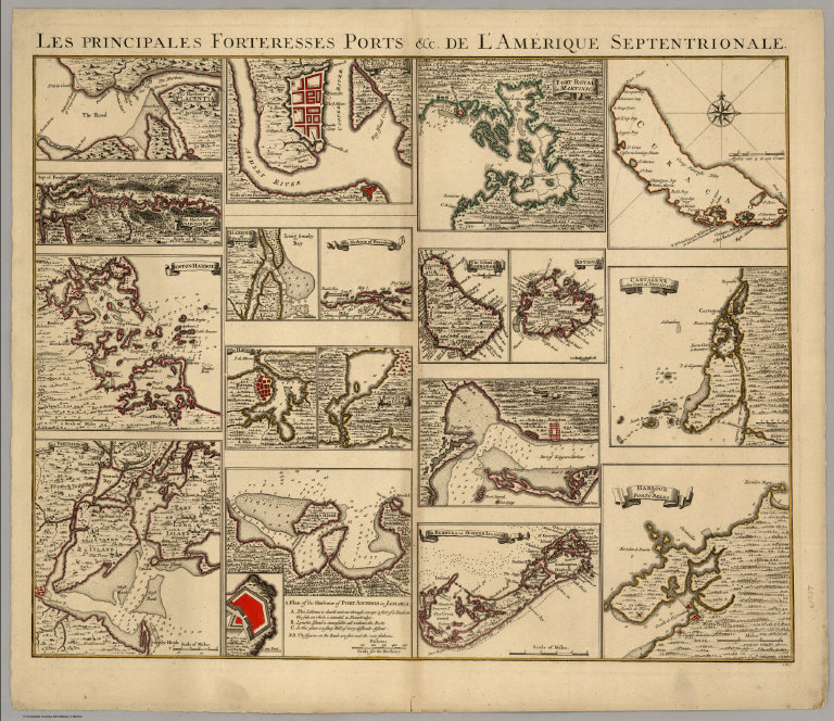
[Covens, Jean, Mortier, Corneille, (Popple, Henry)]
Full Title
Les Principales Forteresses Ports &c. De L'Amerique Septentrionale. I.K.S.
Publisher
Covens & Mortier
Author
Darton, William
Full Title
The West India Islands. London, Published August 27th 1811 by W. Darton, Junr., 58 Holborn Hill.
Publisher
William Darton
Author
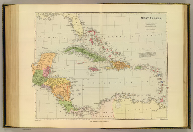
[Edward Stanford Ltd., Stanford, Edward]
Full Title
West Indies. London atlas series. Stanford's Geographical Establishment. London : Edward Stanford, 26 & 27 Cockspur St., Charing Cross, S.W. (1901)
Publisher
Edward Stanford
Author
[Brue, Adrien Hubert, 1786-1832, Picquet, C.]
Full Title
Carte des Iles Antilles, des Etats-Unis de l'Amerique Centrale, et de la Mer du Mexique. Seconde edition, par A. Brue, Geographe du Roi. Revue et augmentee par Chles. Picquet, Geographe du Roi et du Duc d'Orleans. Quai Conti No. 17, pres du Pont des Arts. Paris, 1837.
Publisher
C. Picquet
Author
[Fremin, A.R., Monin, C.V., Montemont, A.]
Full Title
Amerique Septentrionale. Dressee par C.V. Monin. Publiee par Armand Aubree, Editeur. Rue Taranne, 14, a Paris. Grave sur Acier par L. Grenier, Rue des Noyers, No. 33. Imprime par Mangeon. Ecrit par Benard, Rue du Foin, S.Jacques, 51. (1837)
Publisher
Armand Aubree.
Author
Reichard, C. G.
Full Title
Mittel America oder Westindien von C.G. Reichard. Nurnberg, bei Friedrich Campe. (1822)
Publisher
Friedrich Campe.
Author
Arrowsmith, Aaron Jr.
Full Title
W. Indies. London, Published Jany. 4.1825 by A. & S. Arrowsmith, No.10 Soho Square.
Publisher
A. & S. Arrowsmith
Author
Bellin, Jacques Nicolas, 1703-1772
Full Title
Isle de Curacao ou Corassol. (inset map) Entree de la Baye Se. Anne.
Publisher
J.N. Bellin
Author
Thomson, John
Full Title
West Indies. Engraved by Kirkwood & Son, Edinr. Drawn & engraved for John Thomson & Co.'s New general atlas, 12 August 1814.
Publisher
[Baldwin, Cradock, and Joy, John Cumming, John Thomson]
Author
[Lapie, Alexandre Emile, Lapie, M. (Pierre), 1779-1850]
Full Title
Carte des Antilles du Golfe du Mexique et d'une partie des etats voisins. Dressee par M. Lapie, 1er. Geographe du Roi et M. Lapie Fils, Geographe de S.A.R.M. le Dauphin. Paris, 1829. Chez Eymery Fruger et Cie., Rue Mazarine No. 30.
Publisher
Eymery Fruger et Cie
Author
Lizars, Daniel
Full Title
West India Islands and adjacent coasts of the United States, Mexico, Guatimala & Colombia. (with) Island of Jamaica. Published by D. Lizars, Edinburgh. (1831?)
Publisher
[John Hamilton, W. Curry, Jun. & Co., Whittaker, Treacher & Co.]
Author
[Poirson, J.B., Herbin de Halle, Etienne de.]
Full Title
Carte des iles Antilles. Par J.B. Poirson . Nivose An XI, 1803. Grave par Tardieu l'aine, rue de Sorbonne, no. 385.(on upper right margin) No.XII. (to accompany) Statistique Generale et Particuliere De La France et De Ses Colonies, avec une Nouvelle Description ... 1804.
Publisher
F. Buisson
Author
[Poirson, J.B., Herbin de Halle, Etienne de.]
Full Title
Carte de St. Domingue ... Par J.B. Poirson, en Nivose de l'An XI (1803). Grave par Tardieu l'aine, rue de Sorbonne, no. 385. (on upper right margin) No.XIII. (to accompany) Statistique Generale et Particuliere De La France et De Ses Colonies, avec une Nouvelle Description ... 1804.
Publisher
F. Buisson
Author
Bowen, Emanuel
Full Title
An accurate map of the West Indies. Drawn from the best authorities, assisted by the most approved modern maps and charts, and regulated by astronomical observations. By Eman: Bowen. (London: Printed for William Innys, Richard Ware, Aaron Ward, J. and P. Knapton, John Clarke, T. Longman and T. Shewell, Thomas Osborne, Henry Whitridge ... M.DCC.XLVII)
Publisher
William Innys [et al.]
Author
Codazzi, Agustin, 1793-1859
Full Title
Mapa de las costas de Tierra-Firme, desde el Orinoco hasta Yucatan: de las islas Antillas y la mayor parte de las Lucayas con las derrotas que siguio Dn. Cristobal Colon en sus descubrimientos por estos mares y las derrotas de otros navigantes que reconocieron las costas de Venezuela. Lith. de Thierry Frs. a Paris. (Caracas 1840)
Publisher
[Agostino Codazzi, Thierry Freres.]
Author
Rizzi Zannoni, Giovanni Antonio Bartolomeo, 1736-1814
Full Title
Carte geo-hydrographique du Golfe du Mexique et de ses isles. Construit d'apres les memoires les plus recens, et assujeties, pour l'emplacement de ces principales positions aux latitudes et longitudes, determinees par observation. Par M. Rizzi Zannoni, de la Societe Cosmographique de Gottingue, proff. de geograph. A Paris, Chez Lattre Graveur, rue St. Jacques, a la Ville de Bordeaux. A.P.D.R. (1762?)
Publisher
Lattre & Delalain
Author
Moll, Herman, d. 1732
Full Title
A map of the West-Indies &c., Mexico or New Spain. Also ye trade winds, and ye several tracts made by ye Galeons and Flota from place to place. By H. Moll Geographer. (Printed and sold by Tho: Bowles next ye Chapter House in St. Pauls Church Yard, & Ino: Bowles at ye Black Horse in Cornhill, 1736?)
Publisher
Thos. Bowles and John Bowles
Author
[Carleton, Osgood, Norman, William]
Full Title
A new general chart of the West Indies from the latest marine journals and surveys. Regulated and ascertained by astrological observations. I the subscriber do certify that I have carefully examined this chart copied from a London publication agreeable to Act of Parliament and find it a true and accurate copy of the original. Osgood Carleton. Teacher of Navigation and other Branches of the Mathematics. Boston, Decr. 28, 1789. Printed & Sold by W. Norman N. 13 Newbury Str.
Publisher
William Norman
1-18 of 18
|