Who What Where WhenREMOVE |
Author
Rand McNally and Company
Full Title
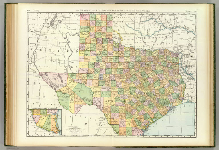
(Text Page) Texas.
Publisher
Rand McNally
Author
Rand McNally and Company
Full Title
(Text Page) Texas.
Publisher
Rand McNally
Author
Rand McNally and Company
Full Title
(Text Page) Texas.
Publisher
Rand McNally
Author
Rand McNally and Company
Full Title
(Text Page) Texas. New Mexico.
Publisher
Rand McNally
Author
Rand McNally and Company
Full Title
Rand, McNally & Co.'s Texas No. 1. Rand McNally & Co's New Enlarged Scale Railroad and County Map of Texas. (with) (Outline Map of Texas Counties).
Publisher
Rand McNally
Author
Rand McNally and Company
Full Title
Rand, McNally & Co.'s Texas No. 2.
Publisher
Rand McNally
Author
[Carey, H. C., Humboldt, Alexander von, 1769-1859, Lea, I.]
Full Title
Geographical, Historical, And Statistical Map Of Mexico. Mexico And Internal Provinces. No. 38. Prepared from Humboldt's Map & other Documents by J. Finlayson. Engrav'd by Young & Delleker.
Publisher
H.C. Carey & I. Lea
Author
Lucas, Fielding Jr.
Full Title
Mexico. B.T. Welch & Co. Sc. Published by F. Lucas Jr. Baltimore.
Publisher
Fielding Lucas Jr.
Author
[Martin, R.M., Tallis, J. & F.]
Full Title
Mexico, California and Texas. The Illustrations by H. Warren & Engraved by J. Rogers. The Map Drawn & Engraved by J. Rapkin.
Publisher
J. & F. Tallis
Author
Pike, Zebulon Montgomery
Full Title
A Map of The Internal Provinces of New Spain. The Outlines are from the Sketches of but corrected and improved by Captain Zebulon M. Pike, who was conducted through that Country, in the Year 1807, by Order of the Commandant General of those Provinces.
Publisher
C. & A. Conrad
Author
Arrowsmith, Aaron
Full Title
(Covers to) A New Map of Mexico and Adjacent Provinces Compiled from Original Documents by A. Arrowsmith. 1810. London. Published 5th October 1810 by A. Arrowsmith, 10 Soho Sque. Hydrographer to H.R.H. the Prince of Wales. Engraved by E. Jones. (with) three inset maps: Valley of Mexico, from Mr. Humboldt's Map; Veracruz; and Acapulco.
Publisher
A. Arrowsmith
Author
[Arrowsmith, Aaron, Humboldt, Alexander von, 1769-1859]
Full Title
A New Map of Mexico and Adjacent Provinces Compiled from Original Documents by A. Arrowsmith. 1810. London. Published 5th October 1810 by A. Arrowsmith, 10 Soho Sque. Hydrographer to H.R.H. the Prince of Wales. Engraved by E. Jones. (with) three inset maps: Valley of Mexico, from Mr. Humboldt's Map; Veracruz; and Acapulco.
Publisher
A. Arrowsmith
Author
[Colton, G.W., Fisher, Richard Swainson]
Full Title
Texas.
Publisher
J.H. Colton
Author
Johnson, A.J.
Full Title
Johnson's Texas. Published by Alvin J. Johnson & Co., New York. 58. 59. Entered according to the Act of Congress, in the year 1866, by A.J. Johnson in the Clerk's Office of the District Court of the United States for the Southern District of New York.
Publisher
Alvin J. Johnson & Co.
Author
Carey, Mathew
Full Title
Mexico or New Spain. (with) inset map of southern Mexico and Central America.
Publisher
M. Carey and Son
Author
Mitchell, Samuel Augustus
Full Title
A New Map of The States Of Texas & California, The Territories Of Oregon, New Mexico, Utah and the Regions adjacent. Compiled from the most recent authorities. Philadelphia: Published by S. Augustus Mitchell. 1852. Entered ... 1850, by Thomas, Cowperthwait & Co. ... Pennsylvania. (on verso) A New Map of Texas Oregon And California With The Regions Adjoining. Compiled from the most recent authorities. Philadelphia, Published by S. Augustus Mitchell, N.E. Corner Of Market & Seventh Streets. 1846. Entered ... 1845, by H.N. Burroughs ... Pennsylvania.
Publisher
S. Augustus Mitchell
Author
Mitchell, Samuel Augustus
Full Title
A New Map of Texas Oregon And California With The Regions Adjoining. Compiled from the most recent authorities. Philadelphia, Published by S. Augustus Mitchell, N.E. Corner Of Market & Seventh Streets. 1846. Entered ... 1845, by H.N. Burroughs ... Pennsylvania. (on verso) A New Map of The States Of Texas & California, The Territories Of Oregon, New Mexico, Utah and the Regions adjacent. Compiled from the most recent authorities. Philadelphia: Published by S. Augustus Mitchell. 1852. Entered ... 1850, by Thomas, Cowperthwait & Co. ... Pennsylvania.
Publisher
S. Augustus Mitchell
Author
Mitchell, Samuel Augustus
Full Title
A New Map of Texas Oregon and California With The Regions Adjoining. Compiled from the most recent authorities. Philadelphia Published by S. Augustus Mitchell N.E. Corner Of Market & Seventh Streets. 1846. Entered ... 1845 by H.N. Burroughs ... Pennsylvania.
Publisher
S. Augustus Mitchell
Author
[Gray, Frank Arnold, Gray, Ormando Willis]
Full Title
Gray's New Map of Texas and the Indian Territory (Oklahoma). By Frank A. Gray. Philadelphia: O.W. Gray & Son. (inset) Hysometric Sketch of Texas and the Indian Territory. (inset) Entrance to Matagorda Bay. (inset) Austin. (inset) The River Systems of Texas and the Indian Territory. (inset) Entrance to Galveston Bay. (inset) Galveston.
Publisher
O.W. Gray & Son
Author
Rand McNally and Company
Full Title
Rand, McNally & Co.'s New business atlas map of Texas. Copyright, 1892, by Rand, McNally & Co. (Chicago, 1897)
Publisher
Rand McNally
Author
Rand McNally and Company
Full Title
(Texas and Indian Territory). Engraved and published by Rand, McNally & Co., Map Engravers, Chicago, Ill.
Publisher
Rand McNally
Author
U.S. War Department, Topographical Engineers
Full Title
Map of Texas and part of New Mexico compiled in the Bureau of Topgraphl. Eng'rs. chiefly for military purposes, 1857 ... Lith. of Ritchie & Dunnovant. Printed at H.F. Walling's Map Establishment, 90 Fulton St., New York.
Publisher
H.F. Walling.
|